
County Carroll Time zone EST (UTC-5) Elevation 213 m Local time Tuesday 4:29 AM | State Indiana FIPS code 18-09460 Zip code 46916 Area code 574 | |
 | ||
Weather 16°C, Wind S at 40 km/h, 78% Humidity | ||
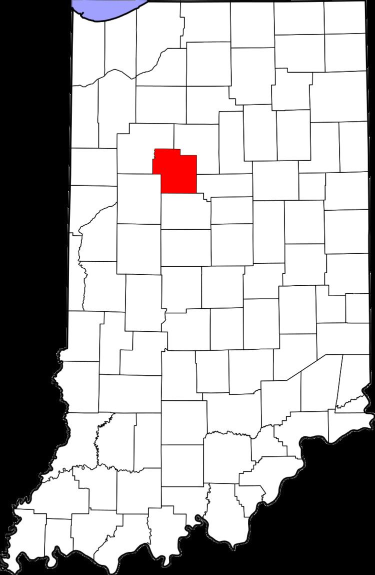
Burrows is an unincorporated community in Liberty Township, Carroll County, Indiana, United States. It is part of the Lafayette, Indiana Metropolitan Statistical Area.
Contents
Map of Burrows, IN, USA
History
The Burrows post office was originally called Cornucopia. The post office opened at Burrows (Cornucopia) in 1853.
Geography
Burrows is located at 40°40′36″N 86°30′27″W. Indiana State Road 25 and the Norfolk Southern Railway both pass northeast through town.
References
Burrows, Indiana Wikipedia(Text) CC BY-SA