
County Clay FIPS code 18-35014 Elevation 167 m Local time Wednesday 3:02 PM | State Indiana GNIS feature ID 436555 Zip code 47438 | |
 | ||
Weather 1°C, Wind NW at 23 km/h, 37% Humidity | ||
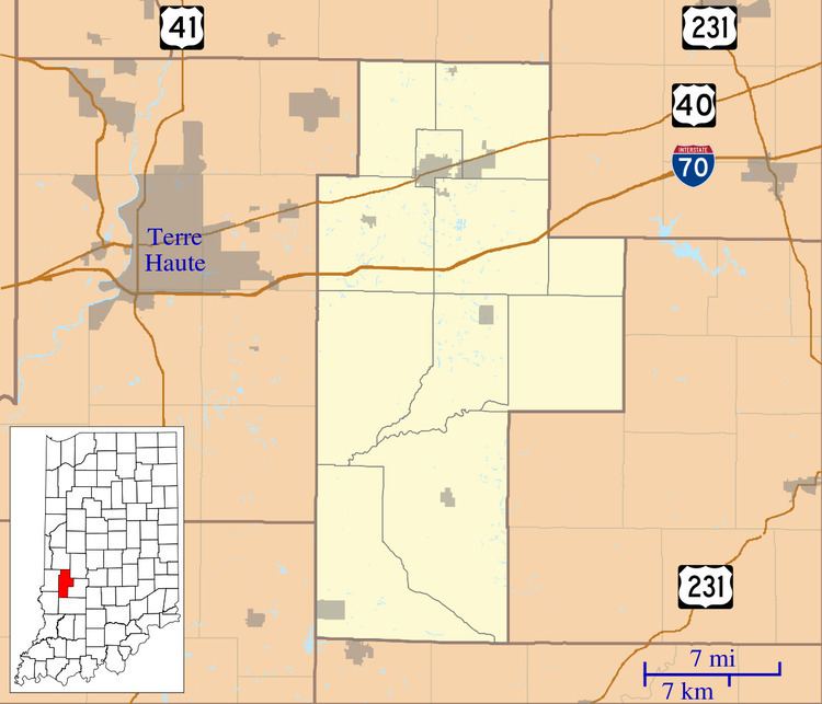
Howesville is an unincorporated community in Lewis Township, Clay County, Indiana. It is part of the Terre Haute Metropolitan Statistical Area.
Contents
Map of Howesville, IN 47438, USA
History
Howesville was laid out in 1856. A post office was established in Howesville in 1858, and remained in operation until it was discontinued in 1909.
Geography
Howesville is located at 39°10′37″N 87°08′49″W.
References
Howesville, Indiana Wikipedia(Text) CC BY-SA