
Country India Language spoken Area 117.78 km2 | State Region Aurangabad Division District Latur Mayor Akhtar Shaikh Literacy 89.67 | |
Latur (Marathi: ) is a city in the Marathwada region in the Maharashtra state of India. It is the headquarters of Latur District and Latur Taluka and administrative headquarters of the Latur Division. The city is a tourist hub, surrounded by many historical monuments, including the Kharosa Caves.
Contents
- Map of Latur
- Gopinath mundes funeral procession latur maharashtra i
- History
- Geography and climate
- Economy
- Tourist attractions
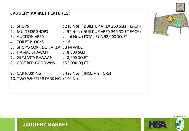
- Latur Food Park
- Cheapest honeymoon in kerala withfoodflight tctseparate car
- References
Map of Latur
Gopinath mundes funeral procession latur maharashtra i
History
Latur has an ancient history, which probably dates to the Rashtrakuta period. It was home to a branch of Rashtrakutas which ruled the Deccan from 753 to 973 AD. The first Rashtrakuta king, Dantidurga, was from Lattalur (Kannada: ????????), probably the ancient name for Latur. Anecdotally, Ratnapur is also mentioned as a name for Latur.
The King Amoghavarsha of Rashtrakutas developed the Latur city, originally the native place of the Rashtrakutas. The Rashtrakutas who succeeded the Chalukyas of Badami in 753 AD called themselves the residents of Lattalut.
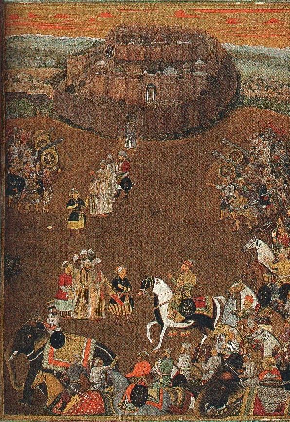
It was, over the centuries, variously ruled by the Satavahanas, the Sakas, the Chalukyas, the Yadavas of Deogiri, the Delhi Sultans, the Bahamani rulers of South India, Adilshahi, and the Mughals.
Later in the 19th century, Latur became part of the independent princely state of Hyderabad. In 1905 it was merged with surrounding areas and renamed Latur tehsil, becoming part of Osmanabad district. Before 1948, Latur was a part of Hyderabad State under Nizam. The chief of Nizams Razakar army, Qasim Rizwi, was from Latur.
After Indian independence and the merger of Hyderabad with the Indian Union, Osmanabad became part of Bombay Province. In 1960, with the creation of Maharashtra, Latur became one of its districts. On August 16, 1982, a separate Latur district was carved out of Osmanabad district.
Geography and climate
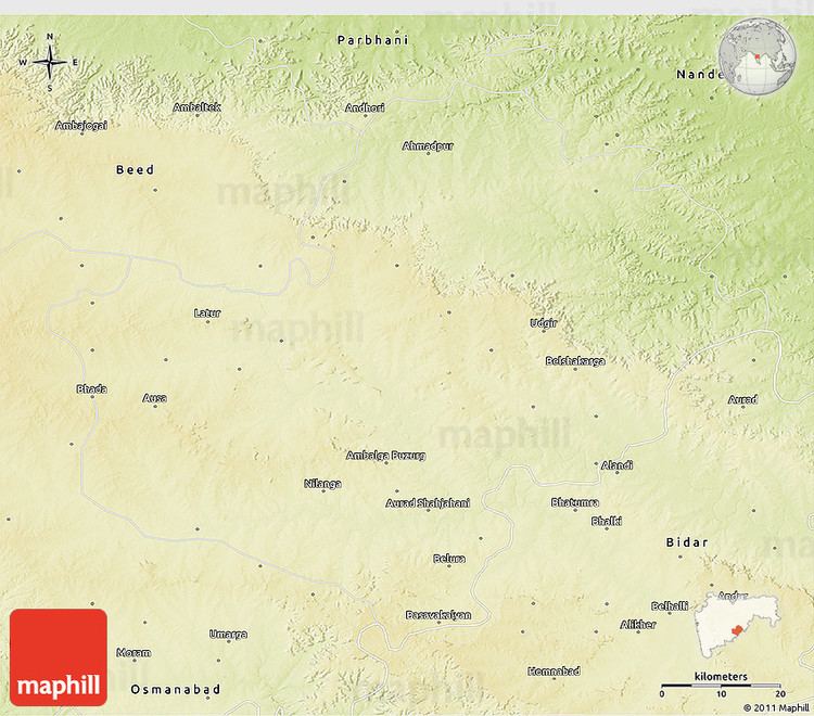
Latur is situated 636 metres above mean sea level, on the Balaghat plateau, on the Maharashtra–Karnataka state boundary. Latur is bounded on the east by Bidar, Nanded is on the northeast, Parbhani on the north, Beed on the northwest, and Osmanabad on the west and south side.
Temperature : Annual temperatures in Latur range from 13 to 41 °C (55 to 106 °F), with the most comfortable time to visit in the winter, which is October to February. The highest temperature ever recorded was 45.8 °C (114.4 °F). The lowest recorded temperature was 6.9 °C (44.4 °F). In the cold season the district is sometimes affected by cold waves in association with the eastward passage of western disturbances across north India, when the minimum temperature may drop down to about 2 to 4 °C (36 to 39 °F).
Rainfall : Most of the rainfall occurs in the monsoon season from June to September. Rainfall varies from 9.0 to 693 mm/month. Average annual rainfall is 725 mm.
Economy
THE oxford city of Marathwada is the fastest growing economy and development in region. There is evidence that Latur was developed as a trading hub nine decades ago. It lies on a major trade route that used to connect north-west Indias sea and land ports to the Deccan region.
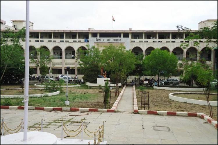
Tourist attractions
Latur Food Park
The park is being planned on a 50-acre (200,000 m2) plot at Harangul near Latur city. Ramky (India) is the consultant for the project. The location is best suited for processing grapes, turmeric, mangoes, pomegranates, citrus fruits and custard apple. Common facilities planned are cold-storage, effluent treatment and social infrastructure.