
Administrative center of Labytnangi Urban Okrug Local time Friday 11:56 PM | Urban okrug Labytnangi Urban Okrug Area 22 km² | |
 | ||
Administratively subordinated to town of okrug significance of Labytnangi Administrative center of town of okrug significance of Labytnangi Weather -4°C, Wind SW at 14 km/h, 83% Humidity | ||
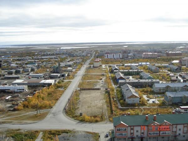
Labytnangi (Russian: Лабытна́нги; from Khanty: лапыт нангк; lit. seven larches) is a town in Yamalo-Nenets Autonomous Okrug, Russia, located on the left bank of the Ob River, 20 kilometers (12 mi) northwest of Salekhard. Population: 26,936 (2010 Census); 27,304 (2002 Census); 31,501 (1989 Census).
Contents
- Map of Labytnangi Yamalo Nenets Autonomous Okrug Russia
- History
- Administrative and municipal status
- References
Map of Labytnangi, Yamalo-Nenets Autonomous Okrug, Russia
History
It was established in 1890. It was granted urban-type settlement status in 1952 and town status in 1975.
Labytnangi is connected to the European Russia by a branch of the Konosha-Vorkuta railway. It is the terminus station on this short stub branch; however, it was built in the early 1950s by Gulag inmates as the first stage of an ambitious project under which the railway would have crossed the north of Tyumen Oblast and reached Igarka on the Yenisei River. The project was abandoned after Joseph Stalin's death.
Administrative and municipal status
Within the framework of administrative divisions, it is incorporated as the town of okrug significance of Labytnangi—an administrative unit with the status equal to that of the districts. As a municipal division, the town of okrug significance of Labytnangi is incorporated as Labytnangi Urban Okrug.