
 | ||
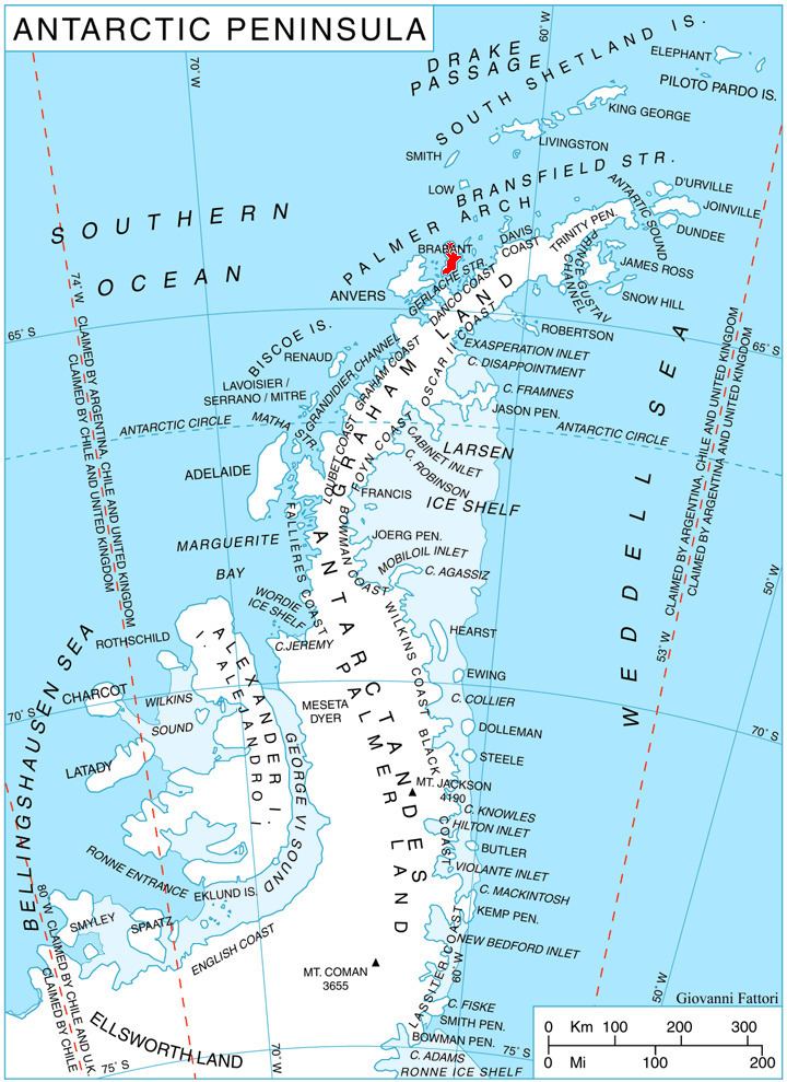
Hill Bay (64°11′S 62°8′W) is a bay, 5 nautical miles (9 km) long and 2 nautical miles (4 km) wide, which indents eastern Anvers Island, Antarctica, between Spallanzani Point and Mitchell Point. Its head is fed by Grigorov, Laënnec and Mitev Glaciers.
Contents
The bay was roughly surveyed by the Admiralty Hydrographic Unit, 1951–52, and was named by the UK Antarctic Place-Names Committee for Leonard C. Hill of the Discovery Investigations, who served as an officer on RRS William Scoresby in January–February 1931, and on every Antarctic commission of RRS Discovery II between 1931 and 1939.
Catherine hill bay jan15
Maps
References
Hill Bay Wikipedia(Text) CC BY-SA