
 | ||
Komuniga Island (Bulgarian: остров Комунига, ‘Ostrov Komuniga’ \'os-trov ko-mu-'ni-ga) is an ice-covered island extending 1.3 km in southeast-northwest direction and 1.1 km wide, the southernmost in the Correo group in Bigo Bay on Graham Coast in Graham Land, Antarctica, off the southwest coast of Magnier Peninsula. It emerged as a distinct geographical entity following the retreat of Magnier Peninsula's ice cap in the first decade of the 21st century.
Contents
The island is named after the settlement of Komuniga in Southern Bulgaria.
Location
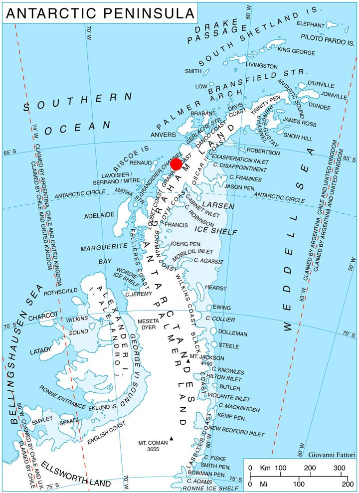
Komuniga Island is located at 65°43′27″S 64°23′37″W, which is 1.3 km northwest of the nearest mainland point and 500 m southeast of Baurene Island. British mapping in 1971.
Maps
References
Komuniga Island Wikipedia(Text) CC BY-SA