
Population Uninhabited | ||
 | ||
Baurene Island (Bulgarian: остров Баурене, ‘Ostrov Baurene’ \'os-trov 'bau-re-ne) is an ice-covered island extending 1.24 km in southeast-northwest direction and 350 m wide, the middle of the three islands of the Correo group in Bigo Bay on Graham Coast in Graham Land, Antarctica, off the southwest coast of Magnier Peninsula. It emerged as a distinct geographical entity following the retreat of Magnier Peninsula's ice cap in the second half of the 20th century.
Contents
The island is named after the settlement of Baurene in Northwestern Bulgaria.
Location
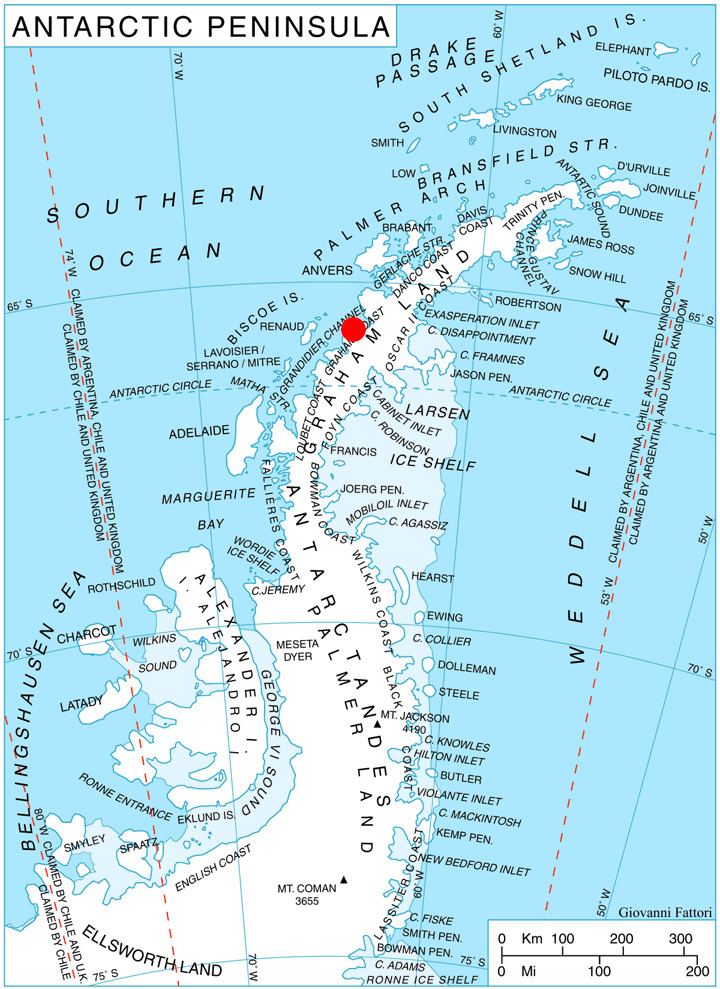
Baurene Island is located at 65°42′38″S 64°25′00″W, which is 500 m northwest of Komuniga Island and 450 m southeast of Lizard Island. British mapping in 1971.
Maps
References
Baurene Island Wikipedia(Text) CC BY-SA