
 | ||
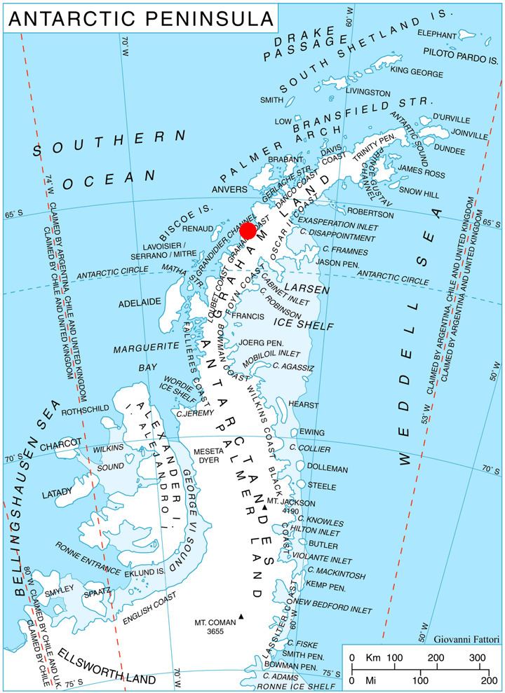
Magnier Peninsula is the mostly ice-covered peninsula projecting 18 km in northwest direction from Graham Coast in Graham Land, Antarctica. It is 17 km wide between Leroux Bay to the northeast and Bigo Bay to the southwest. Magnier Peaks rise in the northern part of the peninsula, while Lisiya Ridge occupy its base.
Contents
The peninsula is named by Chile, taking its name from Magnier Peaks.
Location
Magnier Peninsula is centred at 65°42′00″S 64°18′00″W. British mapping in 1971.
Maps
References
Magnier Peninsula Wikipedia(Text) CC BY-SA