
 | ||
Kladnitsa Peak (Bulgarian: връх Кладница, ‘Vrah Kladnitsa’ \'vr&h 'klad-ni-tsa) is the ice-covered peak of elevation 1000 m on Pernik Peninsula, Loubet Coast in Graham Land, Antarctica. It surmounts McCance Glacier to the south and west, and Darbel Bay to the northeast.
Contents
The peak is named after the settlement of Kladnitsa in Western Bulgaria.
Location
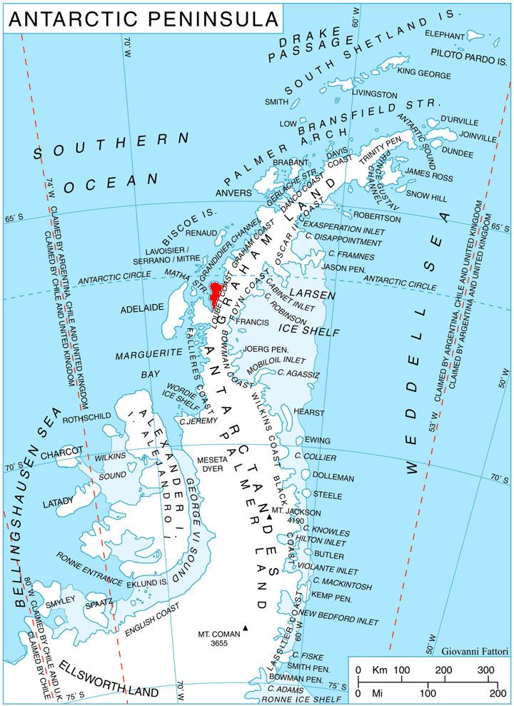
Kladnitsa Peak is located at 66°46′14″S 65°50′08″W, which is 7.36 km east of Liebig Peak, 5 km south-southeast of Rubner Peak, 10.68 km southwest of Sokol Point and 9.77 km west-northwest of Ushlinova Peak. British mapping in 1976.
Maps
References
Kladnitsa Peak Wikipedia(Text) CC BY-SA