
 | ||
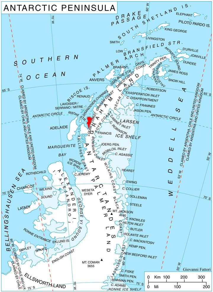
McCance Glacier (66°43′S 65°55′W) is the 30-km long and 5 km wide glacier draining the Hutchison Hill area on the west slopes of Avery Plateau on Loubet Coast in Graham Land, Antarctica. It flows north-northwestwards along the west side of Osikovo Ridge, Kladnitsa Peak and Rubner Peak and enters Darbel Bay.
Contents
Map of McCance Glacier, Antarctica
The glacier was photographed by Hunting Aerosurveys Ltd in 1955–57, and mapped from these photos by the Falkland Islands Dependencies Survey. It was named by the UK Antarctic Place-Names Committee for Robert A. McCance of the Department of Experimental Medicine, Cambridge University, who gave great help in the calculation of concentrated sledging rations for British polar expeditions during the period 1938–58.
Maps
References
McCance Glacier Wikipedia(Text) CC BY-SA