
 | ||
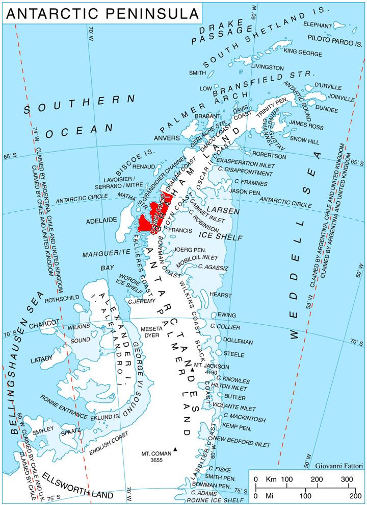
Sokol Point (Bulgarian: нос Сокол, ‘Nos Sokol’ \'nos so-'kol) is the narrow hilly point projecting 1.9 km into Darbel Bay on Loubet Coast in Graham Land, Antarctica. It is formed by an offshoot of Sherba Ridge, and separates the glacier termini of Drummond Glacier to the east and Widdowson Glacier to the south.
Contents
The point is named after the settlements of Sokol in Northeastern and Southeastern Bulgaria.
Location
Sokol Point is located at 66°41′03″S 65°43′56″W, which is 8.1 km northeast of Rubner Peak, 29.35 km east-southeast of Madell Point, 43.4 km south of Cape Bellue, 9.65 km south of Gostilya Point and 9.4 km west-southwest of Voit Peak. British mapping in 1976.
Maps
References
Sokol Point Wikipedia(Text) CC BY-SA