
 | ||
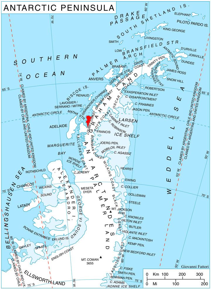
Pernik Peninsula (Bulgarian: полуостров Перник, ‘Poluostrov Pernik’ po-lu-'os-trov 'per-nik) is the ice-covered peninsula projecting 40 km in northwest direction from Loubet Coast on the west side of Antarctic Peninsula. It is bounded by Darbel Bay to the northeast, Lallemand Fjord to the west and Crystal Sound to the northwest, and its northern part is dominated by Protector Heights.
Contents
The peninsula is named after the city of Pernik in Western Bulgaria.
Location
Pernik Peninsula is centred at 66°45′50″S 66°12′00″W. British mapping in 1976.
Maps
References
Pernik Peninsula Wikipedia(Text) CC BY-SA