
West Martin Grove Road Major cities Toronto | Location Toronto Length 19 km East Islington Avenue | |
 | ||
Majorjunctions Gardiner ExpresswayBloor Street / Dundas StreetEglinton Avenue Highway 401 Highway 409Albion Road | ||
Kipling Avenue, originally named Mimico Avenue, is a street in the Etobicoke district of Toronto, Ontario, Canada. It is a concession road, 6 concessions (12 km) from Yonge Street, and is a major north–south arterial road that also extends beyond Toronto, into the Regional Municipality of York.
Contents
Map of Kipling Ave, Toronto, ON, Canada
The street was surveyed in 1795 as a Meridian Street south of the east-west Meridian (now Rathburn Road) with lots to the east running east–west and lots to the west running north–south, a pattern later subdivisions preserved in modern side streets. Most of the road traverses residential neighbourhoods and pockets of industrial and commercial hubs.
The street goes through such areas as New Toronto, Etobicoke Centre, Richview, and Rexdale.
Originally named Mimico Avenue, the street became a central street for the lake shore municipalities of New Toronto (in which it is situated) and Long Branch. It is believed (but unproven) that the street was named in honour of Rudyard Kipling, author of such works as The Jungle Book and the Just So Stories, in preparation for a planned visit to Woodbridge in 1907. Kipling cancelled at the last moment, but the street retained the name.
The Kipling Avenue section in the Town of New Toronto also reverted to its alternate name, Eighteenth Street, at least twice.
The Toronto Transit Commission's 45 Kipling, 44 Kipling South and 188 Kipling South Rocket bus routes operate from Kipling Station on the Bloor-Danforth line. These surface routes provide service along the length of the road.
Kipling Avenue was extended south of Lake Shore Boulevard West with the development of the former Lakeshore Psychiatric Hospital grounds. In 2001 City Council renamed the southerly extension as "Colonel Samuel Smith Park Drive", after rejecting the City Surveyor's original suggestion of Eighteenth Street.
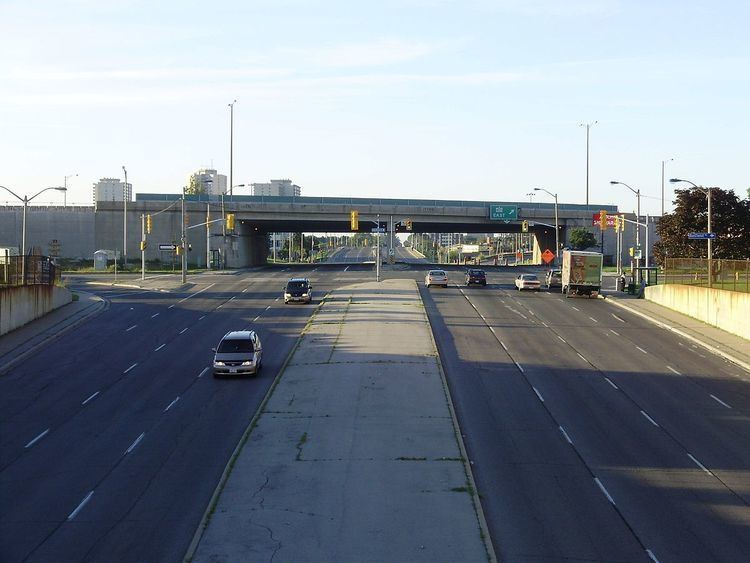
The Six Points interchange with Bloor and Ontario's early Toronto-Hamilton highway, now Dundas has traditionally been Etobicoke's central intersection. In 1953 Etobicoke left York County and joined the newly formed urban region Metropolitan Toronto launching a period of urbanisation which included changing the Six Points intersection to use a number of bridges in 1961. The street is now scheduled to be reconfigured to create an at-grade intersection.
Film studio complex Kipling Studio located on 777 Kipling Avenue is part of Cinespace Film Studios.
Landmarks
Sights along Kipling Avenue in Toronto (north to south):
Beyond Toronto
Kipling Avenue remains one of two streets to go north of Steeles Avenue (due to the short southward bend of Steeles) and still be within the City of Toronto (the other being Midland Avenue). It ends abruptly at the Toronto-Vaughan border. North of that border, Kipling is a broken street and appears briefly from Highway 7 to Langstaff Road. Its original alignment becomes Clarence Street until Major Mackenzie Road. It begins abruptly again south of Teston Road before finally terminating at King-Vaughan Road.