
Time zone EAT (UTC+3) Local time Monday 7:43 PM | Elevation 1,180 m | |
 | ||
Weather 29°C, Wind S at 5 km/h, 35% Humidity | ||
Kigumba is town in Kiryandongo District, northwestern Uganda. It is one of the municipalities in the district. The other municipalities in Kiryandongo District include: (a) Karuma b) Kiryandongo (c) Kigumba and (d) Masindi Port.
Contents
- Map of Kigumba Uganda
- Location
- Overview
- Organizational structure
- Population
- Economic activities
- Points of interest
- References
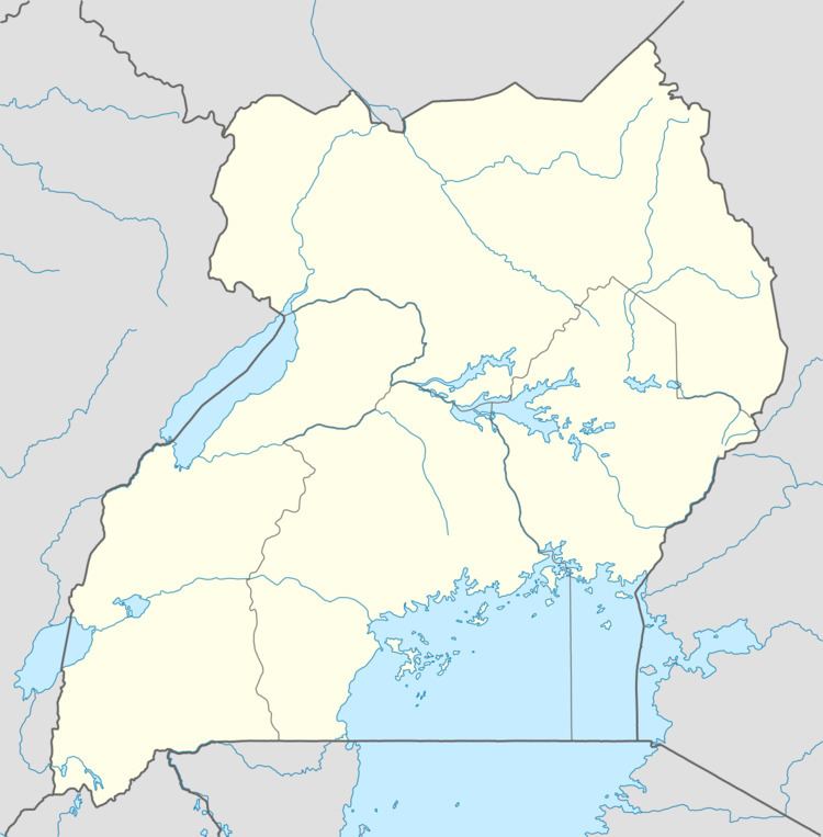
Map of Kigumba, Uganda
Location
Kigumba is located approximately 45 kilometres (28 mi), by road, northeast of Masindi (pop. 45,400 in 2011), the largest city in the sub-region. This location lies approximately 221 kilometres (137 mi), by road, northwest of Kampala, the capital and largest city in Uganda. Kigumba lies approximately 8 kilometres (5.0 mi), by road, south of Bweyale, where the district headquarters are located. The coordinates of the town are:01 48 54N, 32 00 36E (Latitude:1.8150; Longitude:32.0100).
Overview
Kigumba lies at the location where the highway from Kampala to Gulu through Kibangya and Rwekunye, joins the highway from Masindi to Gulu. It is a busy transit point. Established in the 1950s, the town is home to about 100 Ugandan and Kenyan ethnicities. In 2009, the town attained Municipal council status. The municipality consists of the following neighborhoods: (a) Old Kigumba (b) Naguru (c) Kigaragara (d) Kitwanga, the CBD (e) Kihura I (f) Kihura II and (g) Kibukiye. Most of the developments are in the Kitwanga neighborhood. Here one can find the town council offices, financial institutions, factories, restaurants and most bars. The booming trade, has also attracted Indian, Chinese and South Sudanese traders, who have established businesses, including food processing plants.
Organizational structure
The political head of the town is the LC III Chairperson who is elected to a five-year term by universal adult suffrage across the six wards. The supreme policy-making organ is the Town Council, composed of 12 elected councilors. The technical staff of the municipality is headed by the town clerk, Mr. Akugizibwe Gabriel under whom there are several municipal departments.
As of August 2014, the current LC III Chairman of the Town Council is Mr. Karubanga Jacob Ateenyi and the Town Clerk is Mr. Akugizibwe Gabriel
Population
The 2014 national population census put the population of Kigumba at 18,698.
Economic activities
Many women in the town engage in such activities as farming, road-side groceries, market vending, restaurants, hair care, and health care clinics. Men are mainly engaged in wholesale and retail merchandising, taxi driving and boda boda (motorcycle and bicycle) for-hire transportation. Increasingly, residents of Kigumba Town are employed in salaried and non-salaried positions at the district headquarters in Bweyale.
Points of interest
Masindi, the largest town in the sub-region, lies approximately 45 kilometres (28 mi), by road, to the southwest of Kigumba. The district headquarters at Kiryandongo, are located approximately 8 kilometres (5.0 mi), north of Kigumba. Located within the town itself is Kigumba Petroleum Institute (KPI), a tertiary institution of education belonging to the Ugandan government. The Institute occupies premises that formerly housed, Uganda Cooperative College, which has now relocated to the Eastern Ugandan town of Tororo. KPI has now been elevated to University status. Kigumba Central Market is the largest fresh-food market in town. Stanbic Bank (Uganda) Limited, the largest commercial bank in Uganda, by assets and branches, maintains a branch in Kigumba.