
Time zone EAT (UTC+3) Local time Tuesday 5:57 PM | District Masindi District Elevation 1,040 m | |
 | ||
Weather 32°C, Wind E at 10 km/h, 30% Humidity | ||
Masindi Port is a town in Uganda.
Contents
Map of Masindi Port, Uganda
Location
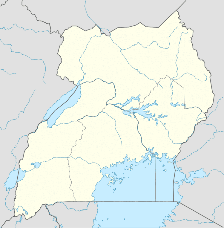
Masindi Port is in Kiryandongo District in western Uganda on the western banks of the Victoria Nile, approximately 197 kilometres (122 mi), by road, northwest of Kampala, Uganda's capital and largest city. This is approximately 39 kilometres (24 mi), by road, south of Kiryandongo, the district capital. The coordinates of the town are 1°41'54.0"N, 32°04'40.0"E (Latitude:1.6983;, 32.0778).
Overview
Masindi Port was a busy river boat docking station during the late 19th and early 20th centuries. Steamboats were a major mode of transport on the Nile River. Because of the Karuma Falls and the Murchison Falls on the Victoria Nile between Lake Kyoga and Lake Albert, steamboats could not navigate that part of the Nile. Passengers would travel by boat from Lake Victoria, down the Victoria Nile into Lake Kyoga. They would then disembark at Masindi Port and travel by land to Butiaba, a port on Lake Albert, where they would resume their water journey downstream the Nile. With the decline of this mode of river transportation, Masindi Port and Butiaba have been reduced to mainly market towns.
Population
In 2009, the Uganda Bureau of Statistics estimated the population of Masindi Port at about 10,400.