
Local time Wednesday 9:18 PM | Elevation 1,100 m | |
 | ||
Weather 26°C, Wind E at 5 km/h, 61% Humidity | ||
Bududa earthquake survivors relocated to kiryandongo slowly returning home
Kiryandongo is a town in the Western Region of Uganda. It is the main municipal, administrative, and commercial center of Kiryandongo District.
Contents
- Bududa earthquake survivors relocated to kiryandongo slowly returning home
- Map of Bweyale Uganda
- Kiryandongo bweyale and kigumba get upgraded water supply
- Location
- Population
- Points of interest
- References
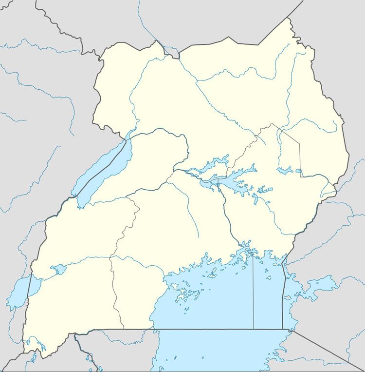
Map of Bweyale, Uganda
Kiryandongo bweyale and kigumba get upgraded water supply
Location
Kiryandongo is on the main Gulu-Masindi highway, approximately 50 kilometres (31 mi), by road, north-east of Masindi, the largest town in the Bunyoro sub-region. This is approximately 225 kilometres (140 mi), by road, north-west of Kampala, Uganda's capital and largest city. The coordinates of the town are 1°57'09.0"N, 32°08'20.0"E (Latitude:1.9525; Longitude:32.1389).
Population
In 2014, the national population census put the population of Kiryandongo at 31,610.
Points of interest
The following points of interest lie within the town or close to its borders:
References
Kiryandongo Wikipedia(Text) CC BY-SA