
Elevation 1,057 m | Local time Friday 10:06 PM | |
 | ||
Weather 24°C, Wind SW at 3 km/h, 57% Humidity | ||
Karuma is a settlement in the Western Region of Uganda.
Contents
- Map of Karuma Uganda
- Chinese firm criticized for not recruiting ugandans on karuma dam project
- Location
- Overview
- References
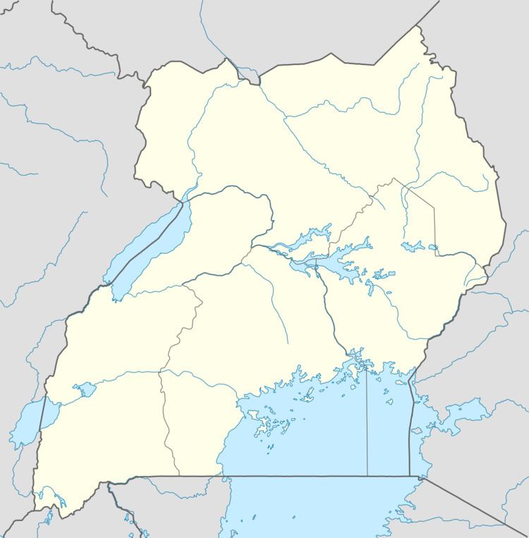
Map of Karuma, Uganda
Chinese firm criticized for not recruiting ugandans on karuma dam project
Location
Karuma is in Kiryandongo District, Bunyoro sub-region. The town is approximately 2.7 kilometres (1.7 mi), by road, north of Karuma Falls. The town is also approximately 11 kilometres (6.8 mi), by road, west of Kamdini, on the Lira–Kamdini–Karuma Road. This location is approximately 261 kilometres (162 mi) north of Kampala, Uganda's capital and largest city., The coordinates of the town are 2°15'16.0"N, 32°14'37.0"E (Latitude:2.254445; Longitude:32.243611).
Overview
Karuma is where the Lira–Kamdini–Karuma Road connects to the Kampala–Karuma Road and the Karuma–Olwiyo–Pakwach–Nebbi–Arua Road.
References
Karuma Wikipedia(Text) CC BY-SA