
Country United States Time zone CST (UTC-6) Area 93.5 km² Population 484 (2010) | Established November 6, 1849 Elevation 202 m Local time Sunday 7:18 PM | |
 | ||
ZIP codes 61314, 61344, 61345, 61361 Weather 2°C, Wind SE at 13 km/h, 39% Humidity | ||
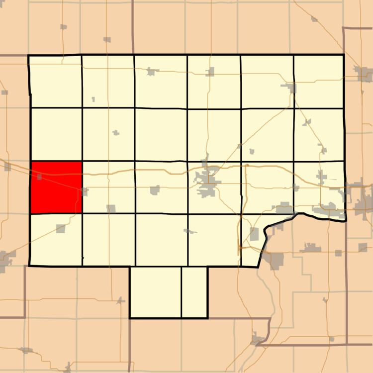
Mineral Township is one of twenty-five townships in Bureau County, Illinois, USA. As of the 2010 census, its population was 484 and it contained 241 housing units.
Contents
- Map of Mineral Township IL USA
- Geography
- Cities
- Cemeteries
- Major highways
- Airports and landing strips
- Landmarks
- School districts
- Political districts
- References
Map of Mineral Township, IL, USA
The township was so named on account of its location in a coal-mining district.
Geography
According to the 2010 census, the township has a total area of 36.1 square miles (93 km2), of which 35.96 square miles (93.1 km2) (or 99.61%) is land and 0.14 square miles (0.36 km2) (or 0.39%) is water.
Cities
Cemeteries
The township contains Mineral Cemetery.
Major highways
Airports and landing strips
Landmarks
School districts
Political districts
References
Mineral Township, Bureau County, Illinois Wikipedia(Text) CC BY-SA