
Existed: 1924 – present Length 346.8 km | North end: WIS 78 in Warren Constructed 1924 | |
 | ||
South end: I-55 / IL 104 in Jacksonville Major cities Canton, Kewanee, Havana, Jacksonville, Mount Carroll, Morrison, Virginia Counties Morgan County, Illinois, Cass County, Illinois | ||
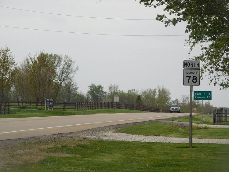
Illinois Route 78 is a major north–south highway in western Illinois. It runs from Illinois Route 104 northwest of Jacksonville north to Highway 78 at the Wisconsin state line north of Warren. This is a distance of 215.51 miles (346.83 km).
Contents
Map of IL-78, Illinois, USA
Points of interest
The following historic and geographic sites can be enjoyed on Illinois Route 78, southing from south to north:
References
Illinois Route 78 Wikipedia(Text) CC BY-SA