
Country United States Time zone CST (UTC-6) Elevation 239 m Local time Friday 6:09 AM | Established November 6, 1849 ZIP codes 61314, 61345 Area 93.63 km² Population 742 (2010) | |
 | ||
Weather 9°C, Wind S at 16 km/h, 82% Humidity | ||
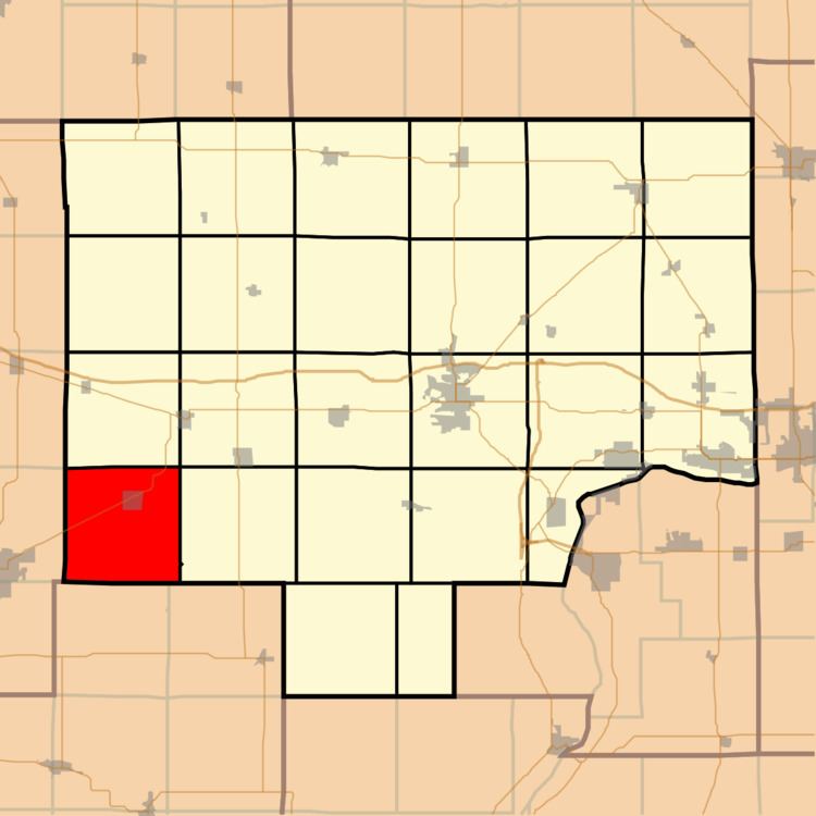
Neponset Township is one of twenty-five townships in Bureau County, Illinois, USA. As of the 2010 census, its population was 742 and it contained 339 housing units. Neponset Township changed its name from Brawby Township on March 5, 1866.
Contents
- Map of Neponset Township IL 61345 USA
- Geography
- Cities
- Cemeteries
- Major highways
- School districts
- Political districts
- References
Map of Neponset Township, IL 61345, USA
Geography
According to the 2010 census, the township has a total area of 36.15 square miles (93.6 km2), of which 36.14 square miles (93.6 km2) (or 99.97%) is land and 0.01 square miles (0.026 km2) (or 0.03%) is water.
The southern and eastern parts of the township form part of the Illinois River watershed, the headwaters of Spoon River arising in the northeast portion of the township. The northwest portion of Neponset township is drained by Mud Creek which flows into Green River, itself a tributary of the Rock River.
Cities
Cemeteries
The township contains these two cemeteries: Floral Hill and Neponset.