
PIN 481445 Elevation 442 m Local time Saturday 5:46 AM | Time zone IST (UTC+5:30) Vehicle registration MP Population 14,760 (2001) ISO 3166 code ISO 3166-2:IN | |
 | ||
Weather 19°C, Wind NW at 3 km/h, 68% Humidity | ||
Katangi only place in india where ravan walk
Katangi is a town and a Nagar Palika Parishad in Balaghat District in the Indian state of Madhya Pradesh.
Contents
- Katangi only place in india where ravan walk
- Map of Katangi Madhya Pradesh 481445
- Most beautiful waterfall nidan at katangi jabalpur mp
- Geography
- Transportation
- Tourist attraction
- Demographics
- References
Map of Katangi, Madhya Pradesh 481445
Most beautiful waterfall nidan at katangi jabalpur mp
Geography
Katangi is located at 21.78°N 79.78°E / 21.78; 79.78. It has an average elevation of 442 metres (1450 feet).
Transportation
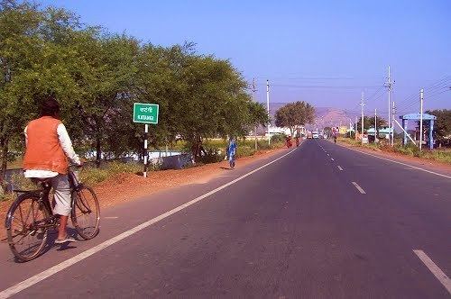
Katangi has better connectivity by Roads to Many Cities like Nagpur , Seoni , Tumsar , Bhandara & To the District Headquarters also i.e Balaghat Katangi also has Railways Connectivity ; It is connected to Gondia via Balaghat By Broad Gauge Network . There is also Connectivity to Nagpur by Tirodi - Tumsar line which is a Broad gauge Track ; which is Used for the Transportation of Magnese .
Tourist attraction
Katangi has so many tourist places including Nehlesara Dam , Jamuniya Dam ,Amma Mai Temple, Rajeev Sagar Dam which is Built across Bawanthadi River a Major Tributary of Wainganga River which is an Interstate Project of MP & Maharashtra.
Demographics
As of 2001 India census, Katangi had a population of 14,760. Males constitute 50% of the population and females 50%. Katangi has an average literacy rate of 71%, higher than the national average of 59.5%: male literacy is 78%, and female literacy is 64%. In Katangi, 13% of the population is under 6 years of age. it is also famous for amba mai temple.