
Country India Language spoken Marathi Area 18 km2 | State Maharashtra Region Vidarbha District Bhandara | |
Bhandara (Marathi: ) is a City and Municipal Council and headquarters of Bhandara district in the state of Maharashtra, India.
Contents
- Map of Bhandara
- Samashti bhandara one of the major attractions of maha shivratri at varanasi
- Geography
- Holy crowd waiting for food at samashti bhandara varanasi
- Varanasi bhandara unique food tradition where hundreds of sadhus feast together
- Sadhus sitting in a queue waiting for food at samashti bhandara
- References
Map of Bhandara
Samashti bhandara one of the major attractions of maha shivratri at varanasi
Geography
Bhandara is located at 21.17°N 79.65°E? / 21.17; 79.65. It has an average elevation of 244 metres (800 feet).
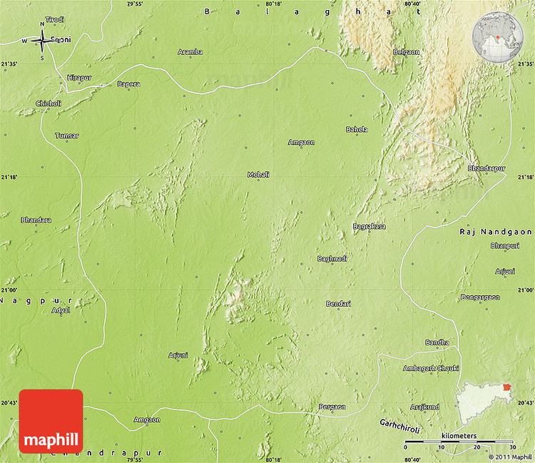
Fondly called the District of Lakes, Bhandara is an important district of Maharashtra. It is located at 60 km from the city of Nagpur. It falls on the major Highway No 6 joining Mumbai and Kolkata. Lying in the north eastern part of the state, Bhandara has total population of 11,98,810 residing over an area of 3716.65 square meters.
Bhandara has a mixed economy with agriculture, industries and forest resources contributing to it. Bhandara is known for its large production of rice. It is also a major hub for the production of Hand Knitted Silk products which is crafted by tribe of Halba Koshti.