Time zone CET/CEST (UTC+1/+2) Area 38.01 km² Population 15,882 (31 Dec 2008) | Elevation 264 m (866 ft) Postal codes 76307 Local time Friday 4:44 PM Postal code 76307 | |
 | ||
Weather 11°C, Wind N at 8 km/h, 46% Humidity Points of interest Haus Conrath, Ruine St.Barbara-Kapelle, Radiomuseum Fa. Becker | ||
Karlsbad is an administrative area in the district of Karlsruhe, in Baden-Württemberg, Germany.
Contents
- Map of Karlsbad Germany
- Geography and history
- Constituent villages
- Karlsruhe
- Waldbronn
- Marxzell
- Remchingen
- Keltern
- Straubenhardt
- Municipal partnership
- Infrastructure
- Railway
- Additional public transport
- Road network
- Celebrities closely linked to Karlsbad
- Historic buildings and structures
- Companies based in Karlsbad
- Karlsbad worldwide
- References
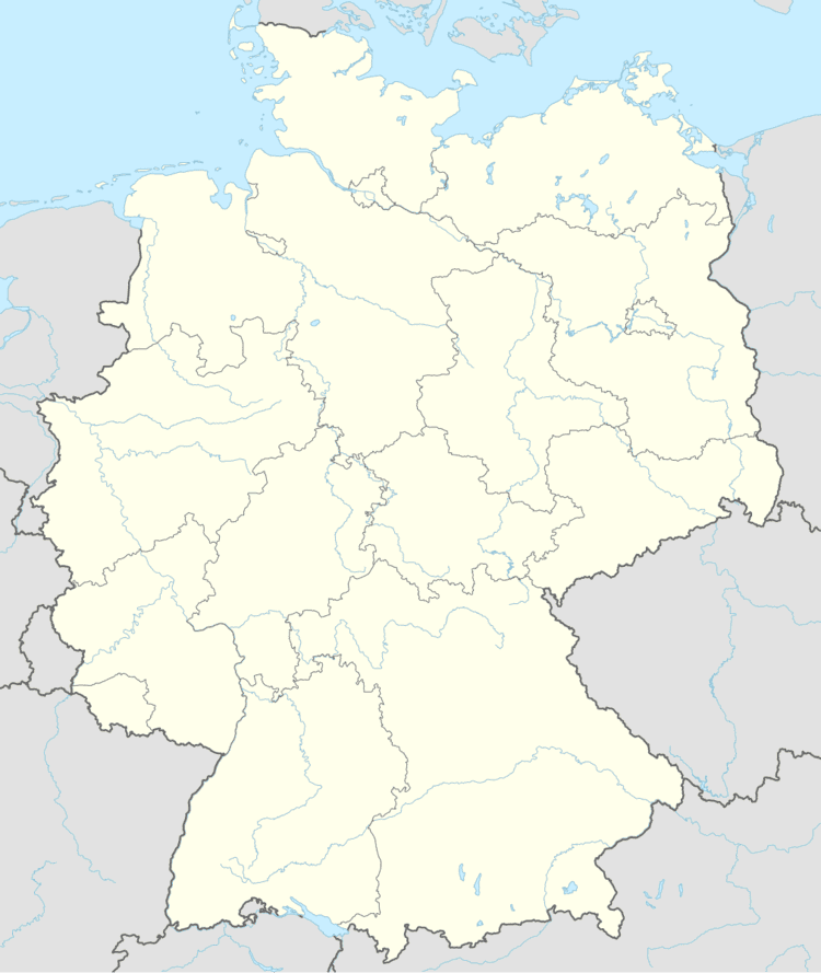
Map of Karlsbad, Germany
Geography and history
The municipality is situated on the Alb-Pfinz Plateau in the northern Black Forest, 8 km east-southeast of Ettlingen, 13 km southeast of Karlsruhe, and 15 km west of Pforzheim.
Constituent villages
The municipality of Karlsbad consists of 5 previously independent single-village municipalities united by the municipality reform in 1971:
Karlsruhe
In the north Karlsbad borders to Karlsruhe and its neighborhoods Stupferich and Palmbach. Both of these neighborhoods form part of a group of neighborhood known as Karlsruhe's Bergdörfer (mountain villages). Most of Karlsruhe is situated within the Upper Rhine Plain, not so the Bergdörfer: They are situated on the mointains of the northern Black Forest and the western Kraichgau. They share the autobahn exit Karlsbad, situated within their borders, with their neighbor municipality and are connected with it through the Landesstraßen L609 and L623.
The village Stupferich is a southeastern neighborhood of Karlsruhe. Until it was integrated into the city of Karlsruhe in 1972 it was an independent municipality. In 2000 the village celebrated its 900th anniversary. In December 2011 it had about 2,650 inhabitants.
The village Palmbach is an eastern neighborhood of Karlsruhe. Until it was integrated into the city of Karlsruhe in 1975 it formed part of the municipality Wetterbsbach composed of the villages Palmbach and Grünwettersbach. Palmbach was founded in 1701 by 28 Waldensian refugee families consisting of 111 people from La Balme in the French Alps on an area of 306 acres belonging to Grünwettersbach. They called their settlement La Balme, just like the place, they came from, which turned into the village's current name still during the 18th century. In March 2012 Palmbach had about 1,800 inhabitants.
Waldbronn
The western frontier of Karlsbad leads to Waldbronn, a municipality in the district of Karlsruhe at the borders of the Alb-Pfinz Plateau and within the Alb Valley with some 12,500 inhabitants. Just like Karlsbad, this municipality is also product of the municipality reform in Baden-Württemberg. Its current constituent villages and former independent municipalities joined the former single-village municipality Reichenbach:
In 1974 the enlarged municipality Reichenbach was renamed and received the name Waldbronn
Marxzell
The southwestern frontier of Karlsbad borders to Marxzell, a municipality in the district of Karlsruhe with about 5,300 inhabitants (as of December 2011) consisting of the former independent municipalities
Burbach, Marxzell (also part of the other two former municipalities], Metzlinschwander Hof and the houses Fischweier and Weimersmühle.
Pfaffenrot and Gertrudenhof
Schielberg, "Bergschmiede, Hotel", Schlotterhof, Steinhäusle and Frauenalb
Remchingen
The municipality Remchingen in the Enz district borders to Karlsbad on the northeastern frontier of the last-mentioned. It is located within the Pfinz Valley, counts about 12,000 inhabitants and consists of the following former municipalities:
Historic ties between Karlsbad and Remchingen become obvious comparing the coats of arms of the former municipalities of both of them. The flowers on Mutschelbach's coat of arms are quite similar to those of all of the three parts of Remchingen.
Moreover in both Nöttingen and Auerbach rests of Roman settlements have been found that can be dated back to the era around 80 A.D.
Keltern
On its eastern frontier Karlsbad borders to Keltern, a municipality within Enz district counting about 9,000 inhabitants. It consists of the following villages:
Straubenhardt
This municipality is located southeast of Karlsbad. Straubenhardt forms part of the Enz district, counts some 11,000 inhabitants and is made up of the following previously independent municipalities:
Municipal partnership
Karlsbad is a municipal partner of the following towns and municipalities:
Infrastructure
Karlsbad can be accessed on the road or by train. Baden Airpark, the closest international airport is situated at a straight-line distance of about 34 kilometers.
Railway
Langensteinbach, Spielberg and Ittersbach are all connected to each other and to the cities of Karlsruhe and Ettlingen among others by the Busenbach–Ittersbach branch of the Alb Valley Railway (Albtalbahn), an electric railway that forms part of the Karlsruhe Stadtbahn. Ittersbach is the terminus of the branch, which operates as line S 11. Buses connect Auerbach an Mutschelbach wirth the mentioned railway through the train stops in Langensteinbach.
Additional public transport
In addition to the mentioned railway, six bus lines circulate in, to and from Karlsbad:
Road network
Other main roads crossing Karlsbad are the following Landesstraßen:
In former times especially Langensteinbach had serious traffic problems caused by several complicated road junctions controlled by traffic lights. The problem led to an interesting solution. Today Langensteinbach counts with two double roundabouts relieving the traffic conditions.
Celebrities closely linked to Karlsbad
Historic buildings and structures
Companies based in Karlsbad
Karlsbad worldwide
Around the globe there are several places named Karlsbad or Carlsbad:
