
Local time Friday 8:33 AM | Division Nashik Division | |
 | ||
Weather 24°C, Wind W at 13 km/h, 53% Humidity | ||
Kapadne (Marathi:कापडणे) is a small village in the state of Maharashtra, India. It is located in the Dhule taluka of Dhule district in Maharashtra.
Contents
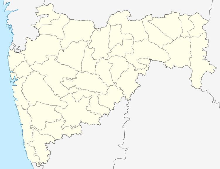
Map of Kapadne, Maharashtra 424307
Website Link
Location
Kapadne is located near the NH-3. It is 2 km far from NH-3. Devbhane connects Kapadne to the NH-3.
Demographics
As of 2001 census, Kapadne had a population of 11694 with 5957 males and 5737 females.
Rail
Kapadne has no railway station of its own, the closest railway station is Dhule which is 15 km from the village.
Road
Kapadne is connected by the Maharashtra State Road Transport Corporation (M.S.R.T.C). A number of private auto rickshaws and jeeps ply between kapadne to devbhane and towards dhule. They are mostly operated by self-employed youth of village. kapadne boasts to have about tractors and trucks. They are used to transport agricultural produce- Cotton, Onions, Ground nut,cereals etc. to markets at Dhule, Jalgaon, Indore, Surat etc. Tractors are used for agricultural works also.
Air
Kapadne has no airport of its own, the closest airport is at Dhule.