Time zone EAT (UTC+3) Area 2,439 km² | Website www.kamwenge.go.ug | |
 | ||
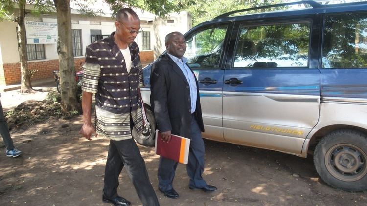
Museveni promises kamwenge district a new hospital
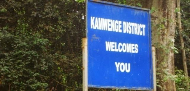
Kamwenge District is a district in Western Uganda. Like most other Ugandan districts, it is named after its 'chief town', Kamwenge, where the district headquarters are located. Kamwenge District is part of the Kingdom of Toro, one of the ancient traditional monarchies in Uganda. The kingdom is coterminous with Toro sub-region, home to an estimated 1 million inhabitants in 2002, according to the national population and housing census conducted that year. The districts that constitute the sub-region are: (a) Kabarole District (b) Kamwenge District (c) Kyegegwa District and (d) Kyenjojo District.
Contents
- Museveni promises kamwenge district a new hospital
- Senior education officer kamwenge district
- Location
- Overview
- Population
- Ethnicities and languages
- Economic activities
- References
Senior education officer kamwenge district
Location
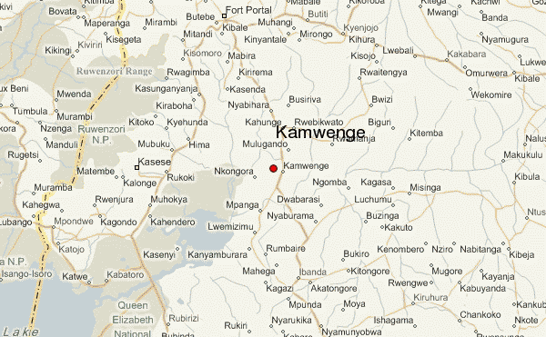
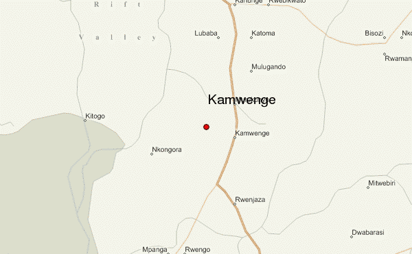
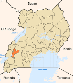
Kamwenge District is bordered by Kyenjojo District to the north, Kyegegwa District and Kiruhura District to the northeast, Ibanda District to the east and southeast, Rubirizi District to the southwest, Kasese District to the west and Kabarole District to the northwest. Kamwenge, the district headquarters lies approximately 300 kilometres (190 mi), by road, west of Uganda's capital, Kampala. The coordinates of the district are:00 11N, 30 27E.
Overview
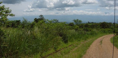
The district was created in 2000 by Act of Parliament. Prior to then, it was part of Kabarole District. It covers an area of approximately 2,439.4 square kilometres (941.9 sq mi). Of this, 64.1 square kilometres (24.7 sq mi) (2.6%) is covered by open water. It is predominantly a rural district with some of the worst poverty levels in the country. The district does not have a hospital.
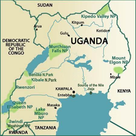
Kamwenge is made up of two counties and one municipal council: 1. Kitagwenda County 2. Kibaale County and 3. Kamwenge Town Council. The district is endowed with numerous wetlands, tropical forests in the Kashoha/Kitomi region, and Kibaale National Park, which it shares with Kibale District and Kyenjojo District. In Bwizi subcounty, there are pockets of highland tropical forest on the mountain ranges. There are numerous aquatic systems in the district including:
Population
The 1991 national population census estimated the district population at about 201,700. The next census in 2002, put the population in the district at approximately 263,700, of whom 51.5% were female and 48.5% were female. In 2012, the population of Kamwenge District was estimated at about 332,000.
Ethnicities and languages
The predominant ethnic group in the district are Batagwenda, Batoro. However, there are a sizable number of Bakiga who have settled in the district. The languages spoken include:
Economic activities
Agriculture is the mainstay of the district economy. Crops raised include:
In the Kitagwenda area of the district, there is fishing, some of it for commercial purposes.