
Sub-region Toro sub-region Elevation 1,280 m | Local time Saturday 5:33 PM | |
 | ||
Weather 26°C, Wind E at 10 km/h, 55% Humidity | ||
Ntv connect changing face of kamwenge
Kamwenge is a town in the Western Region of Uganda. It is the site of the Kamwenge District headquarters.
Contents
- Ntv connect changing face of kamwenge
- Map of Kamwenge Uganda
- Besigye accuses frank tumwebaze of intimidating his supporters in kamwenge
- Location
- Population
- Points of interest
- References
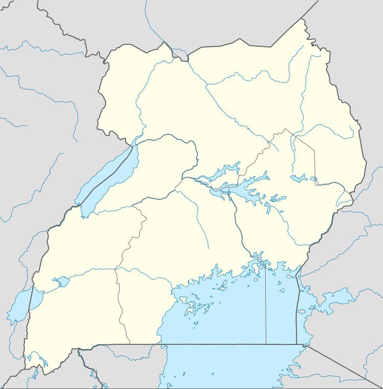
Map of Kamwenge, Uganda
Besigye accuses frank tumwebaze of intimidating his supporters in kamwenge
Location
Kamwenge is approximately 300 kilometres (190 mi), by road, west of Kampala, Uganda's capital and largest city. This is approximately 70 kilometres (43 mi), by road, southeast of Fort Portal, the largest town in the Toro sub-region. The coordinates of the town are 0°11'10.0"N, 30°27'14.0"E (Latitude:0.186111; Longitude:30.453889).
Population
The 2002 population of Kamwenge was recorded at about 13,320 by the national population census. In 2010, the Uganda Bureau of Statistics (UBOS) estimated the population at 16,100. In 2011, UBOS estimated the population at 16,300. During the 2014 national population census, the population was put at 19,240.
Points of interest
The following additional points of interest lie within the town or near its borders: