
Country United States GNIS feature ID 453503 Area 122.1 km² Population 5,762 (2010) | ZIP codes 46731, 46777, 46791 Elevation 253 m Local time Friday 2:20 PM | |
 | ||
Weather 1°C, Wind NW at 29 km/h, 37% Humidity | ||
Jefferson Township is one of nine townships in Wells County, Indiana, United States. As of the 2010 census, its population was 5,762 and it contained 2,366 housing units.
Contents
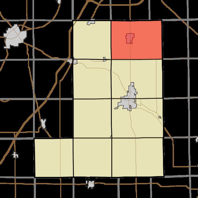
- Map of Jefferson Township IN USA
- Geography
- Cities towns villages
- Unincorporated towns
- Adjacent townships
- Cemeteries
- Lakes
- School districts
- Political districts
- References
Map of Jefferson Township, IN, USA
Geography
According to the 2010 census, the township has a total area of 47.13 square miles (122.1 km2), of which 46.98 square miles (121.7 km2) (or 99.68%) is land and 0.15 square miles (0.39 km2) (or 0.32%) is water.
Cities, towns, villages
Unincorporated towns
(This list is based on USGS data and may include former settlements.)
Adjacent townships
Cemeteries
The township contains these three cemeteries: El Honan, Oak Lawn and Prairie View.
Lakes
School districts
Political districts
References
Jefferson Township, Wells County, Indiana Wikipedia(Text) CC BY-SA