
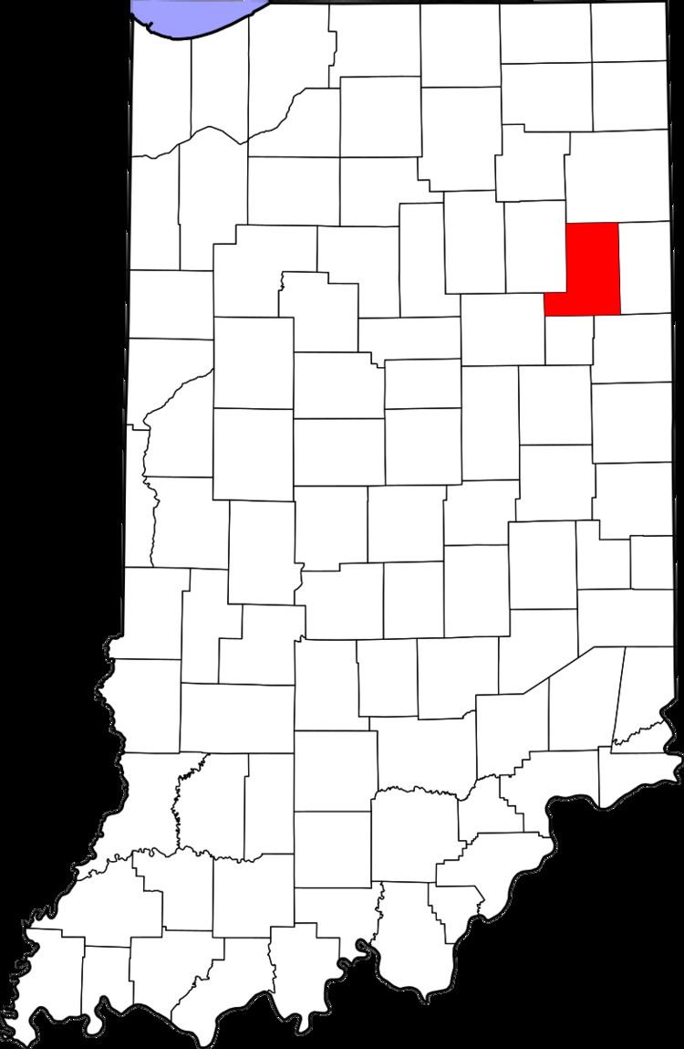
County Wells Time zone Eastern (EST) (UTC-5) Elevation 254 m Local time Saturday 10:56 PM | State Indiana FIPS code 18-76076 Zip code 46777 | |
 | ||
Weather 8°C, Wind W at 5 km/h, 69% Humidity | ||
Tocsin is an unincorporated community in Lancaster Township, Wells County, in the U.S. state of Indiana. It is on the border with Jefferson Township.
Contents
Map of Tocsin, IN 46777, USA
History
Tocsin was platted in 1884. A post office was established at Tocsin in 1882, and remained in operation until it was discontinued in 1966.
Geography
Tocsin is located at 40°49′49″N 85°06′33″W.
References
Tocsin, Indiana Wikipedia(Text) CC BY-SA