
Elevation 240 m Local time Tuesday 5:20 PM | GNIS feature ID 0453744 Area 90.93 km² Population 3,312 (2010) | |
 | ||
ZIP codes 46777, 46798, 46809, 46816, 46819 Weather 11°C, Wind W at 24 km/h, 35% Humidity | ||
Pleasant Township is one of twenty townships in Allen County, Indiana, United States. As of the 2010 census, its population was 3,312.
Contents
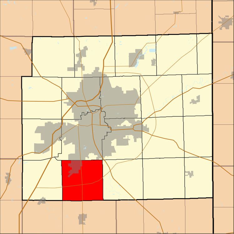
- Map of Pleasant Township IN USA
- Geography
- Cities towns villages
- Unincorporated towns
- Adjacent townships
- Cemeteries
- Major highways
- Airports and landing strips
- School districts
- Political districts
- References
Map of Pleasant Township, IN, USA
Geography
According to the United States Census Bureau, Pleasant Township covers an area of 35.11 square miles (90.9 km2), all land.
Cities, towns, villages
Unincorporated towns
Adjacent townships
Cemeteries
The township contains Brenton Chapel Cemetery.
Major highways
Airports and landing strips
School districts
Political districts
References
Pleasant Township, Allen County, Indiana Wikipedia(Text) CC BY-SA