
Country United States GNIS feature ID 0453776 Area 62 km² Local time Saturday 9:47 PM | ZIP codes 46733, 46777 Elevation 244 m Population 1,069 (2010) | |
 | ||
Weather 10°C, Wind NE at 19 km/h, 83% Humidity | ||
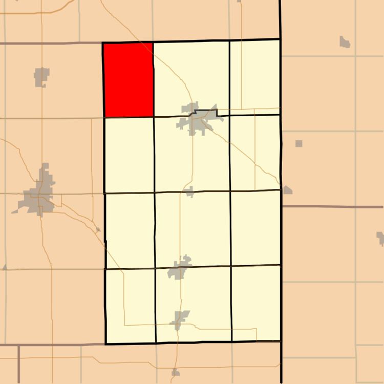
Preble Township is one of twelve townships in Adams County, Indiana, United States. As of the 2010 census, its population was 1,069.
Contents
- Map of Preble Township IN USA
- Geography
- Unincorporated towns
- Adjacent townships
- Cemeteries
- Major highways
- Rivers
- School districts
- Political districts
- References
Map of Preble Township, IN, USA
Geography
According to the 2010 census, the township has a total area of 23.94 square miles (62.0 km2), of which 23.85 square miles (61.8 km2) (or 99.62%) is land and 0.08 square miles (0.21 km2) (or 0.33%) is water.
Unincorporated towns
Adjacent townships
Cemeteries
The township contains the following cemeteries: Fuhrman (abandoned), Magley (also known as Salem or UCC), Mann, St. John Lutheran (Bingen), St. Paul Lutheran, and Zion Lutheran (Friedheim).
Major highways
Rivers
School districts
Political districts
References
Preble Township, Adams County, Indiana Wikipedia(Text) CC BY-SA