Rahul Sharma (Editor)

Japan National Route 41

Updated on
Edit
Like
Comment
Share on FacebookTweet on TwitterShare on LinkedInShare on Reddit
Existed:
  
1953 – present

Constructed
  
1953

Length
  
252.1 km

Japan National Route 41

South end:
  
North end:
  
Highway system
  
National highways of Japan

Major cities
  
Takayama, Hida, Gero, Komaki, Inuyama, Minokamo, Kani

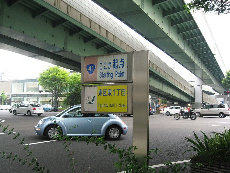
National Route 41 (国道41号, Kokudō Yonjūichi-gō) is a national highway connecting Nagoya, Aichi Prefecture, and Toyama, Toyama Prefecture, Japan. The bulk of the road run throughs Gifu Prefecture. The route is also referred to as Yon-ichi and Shippin, based on the Japanese readings for the route numbering.

Contents

Map of Japan, %E5%9B%BD%E9%81%9341%E5%8F%B7%E7%B7%9A

The road generally follows the route of JR Central's Takayama Main Line, except for a few locations around the cities of Takayama and Hida. The northern part of the route is generally used for sightseeing and the southern part is for industry. As a result, the northern areas are generally crowded only on weekends and holidays, whereas the southern areas, especially around Nagoya, have high traffic volume every day.

Route data

  • Length: 252.1 km (156.6 mi)
  • Origin: Higashi-ku, Nagoya, Aichi Prefecture (originates at junction with Route 19)
  • Terminus: Toyama, Toyama Prefecture (ends at junction with Route 8)
  • Major cities: Minokamo, Gero, Takayama
  • History

  • 1953-05-18 - Second Class National Highway 155 (from Nagoya to Toyama)
  • 1959-04-01 - First Class National Highway 41 (from Nagoya to Toyama)
  • 1965-04-01 - General National Highway 41 (from Nagoya to Toyama)
  • Overlapping sections

  • In Minokamo, from Ota-honmachi-4 intersection to Shin-Ota-bashi intersection: Route 21
  • In Minokamo, from Shimamachi intersection to Mikadocho intersection: Route 248
  • Municipalities passed through

  • Aichi Prefecture
  • Nagoya, Toyoyama, Komaki, Ōguchi, Fusō, Inuyama
  • Gifu Prefecture
  • Kani, Minokamo, Kawabe, Hichisō, Yaotsu, Shirakawa, Gero, Takayama, Hida
  • Toyama Prefecture
  • Toyama

    Intersects with

  • Aichi Prefecture
  • Route 19 (at the origin)
  • Route 302 (Nagoya's Higashi-ku)
  • Route 155 (Komaki)
  • Gifu Prefecture
  • Route 21 and 248 (Minokamo)
  • Route 418 (Kawabe)
  • Route 256 (Kawabe, Gero)
  • Route 257 (Gero)
  • Route 158 (Takayama)
  • Route 472 (Takayama, Hida)
  • Route 471 (Hida)
  • Toyama Prefecture
  • Route 359 and 360 (Toyama)
  • Route 8 (at the terminus)
  • References

    Japan National Route 41 Wikipedia