
Country Area 2,177.67 km2 Mayor Michihiro Kunishima | Region Chubu Population 92,369 | |
 | ||
Points of interest Hida Minzoku Mura Folk Village, Shinhotaka Ropeway, Japanese Alps, Mount Norikura, Mount Yake | ||
Map of Takayama, Gifu
Takayama (高山市, Takayama-shi) is a city located in Gifu Prefecture, Japan.
Contents
- Map of Takayama Gifu
- Japan vlog 14 trip to hida takayama gifu
- Etymology
- History
- Climate
- Railroad
- Adjoining communities
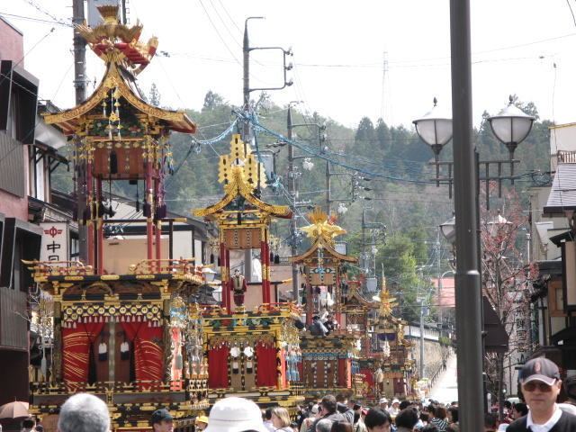
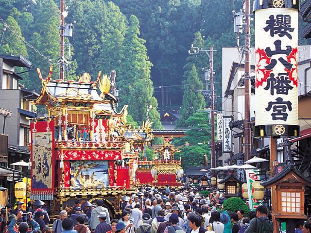
- Attractions
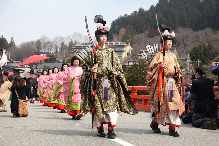
- Culture
- In Japan
- Overseas
- References
As of July 2011, the city has an estimated population of 92,369 and a population density of 42 persons per km². The total area is 2,177.67 km².
Japan vlog 14 trip to hida takayama gifu
Etymology
The city is popularly known as Hida-Takayama (飛騨高山) in reference to the old Hida Province to differentiate it from other places named Takayama. The name 'Takayama' means 'tall mountain'.
History
Takayama was settled as far back as the Jōmon period.
The city is best known for its inhabitants' expertise in carpentry. It is believed carpenters from Takayama worked on the Imperial Palace in Kyoto and on many of the temples in Kyoto and Nara. The town and its culture, as they exist today, took shape at the end of the 16th century, when the Kanamori clan built Takayama Castle. About a hundred years later the city came under the rule of the Tokugawa shogunate. However, the high altitude and separation from other areas of Japan kept the area fairly isolated, allowing Takayama to develop its own culture over about a 300-year period.
The city was formed on November 1, 1936 by a merger of the towns of Takayama and Onada.
On February 1, 2005, the town of Kuguno, and the villages of Asahi, Kiyomi, Miya, Nyūkawa, Shōkawa and Takane (all from Ōno District), the town of Kokufu, and the village of Kamitakara (both from Yoshiki District) were merged into Takayama, which made Takayama the largest city in Japan by surface area.
Climate
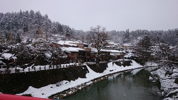
In the heart of the Japanese Alps, Takayama falls under a humid continental climate (Koppen Dfa) with some characteristics of humid subtropical climate. It features four distinct seasons with a wide range of temperature between the summer and winter, somewhat resembling parts of northern Japan and Hokkaidō.
Takayama is part of the heavy snow area of Japan (gōsetsu-chitai, 豪雪地帯) with snowfall most days throughout the winter season. Takayama and many other places exposed to the Sea of Japan experience lake effect snow, generating some of the highest, most consistent snowfall in the world.
Spring is short lived, usually dry with mild temperatures and plenty of sunshine. Cherry blossoms (sakura, 桜) can be seen in Takayama from the middle to the end of April, around three weeks later than Nagoya.
Summer begins around the end of May to the beginning of June. It is humid and wet with the arrival of the rainy season (tsuyu, 梅雨), receiving high rainfall amounts. It then yields to a hotter and generally less humid end to the summer with daytime temperatures usually higher than 30 °C (86 °F) and occasionally higher than 35 °C (95 °F) coupled with strong sunshine.
Autumn approaches during the middle of October and is short, dry. and cool with diminishing sunlight. Colorful foliage from maples (momiji/kōyō, 紅葉) can be seen in the Takayama area from the end of October to the first week of November.
Winter arrives around the beginning of December and is moderately long, cold, and icy with high amounts of snowfall annually amounting to an average of 5.11m (201.2 inches) commonly leading to the development of snow banks in the outer areas of the city. The first snowfall usually arrives at the end of November and lasts through until the beginning of April. Yearly low temperatures in the city centre drop as low as -15 °C (5 °F) and occasionally fail to reach above freezing point during the day.
Railroad
Adjoining communities
Attractions
This city was selected as one of the top ten travel destinations in Asia by Lonely Planet Magazine in the year 2017.