
Country Region ChubuHokuriku Governor | Area 4,247.22 km2 Capital Toyama | |
 | ||
Colleges and Universities University of Toyama Points of interest Destinations | ||
Population 1.088 million (Mar 31, 2012) | ||
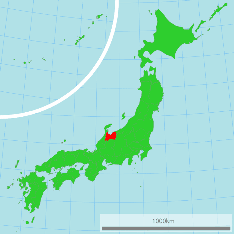
Map of Toyama Prefecture
Toyama Prefecture (富山県, Toyama-ken) is a prefecture of Japan located in the Hokuriku region on the main Honshu island. The capital is the city of Toyama.
Contents
- Map of Toyama Prefecture
- Explore japan with moe toyama prefecture
- Hokuriku shinkansen explore japan toyama prefecture
- History
- Geography
- Municipalities
- Cities
- Towns and villages
- Agriculture
- Manufacturing
- Energy
- Demographics
- International links
- Rail
- Expressway
- Air
- Domestic
- International
- UNESCO World Heritage Cultural Sites
- National Treasures of Japan
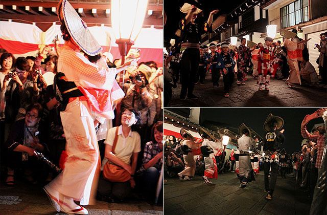
- Spring
- Summer
- Fall
- Winter
- Regional Foods
- Regional sake
- Sports
- Sister Regions
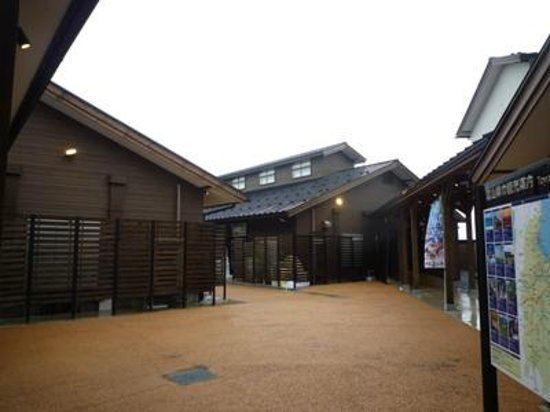
- Tourism
- References
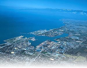
Toyama is the leading industrial prefecture on the Japan Sea coast, and has the industrial advantage of cheap electricity from abundant hydroelectric resources. It also contains East Asia’s only known glaciers outside Russia, first recognized in 2012.

Explore japan with moe toyama prefecture
Hokuriku shinkansen explore japan toyama prefecture
History
Historically, Toyama Prefecture was Etchū Province. Following the abolition of the han system in 1871, Etchū Province was renamed Niikawa Prefecture, but Imizu District was given to Nanao Prefecture. In 1872 Imizu District was returned by the new Ishikawa Prefecture.
In 1876, Niikawa Prefecture was merged into Ishikawa Prefecture but the merger was void in 1881 and the area was re-established as Toyama Prefecture.
The Itai-itai disease occurred in Toyama around 1950.
Geography
Toyama Prefecture is bordered by Ishikawa Prefecture to the west, Niigata to the northeast, Nagano to the southeast, Gifu to the south and Sea of Japan to the north.
As of April 1, 2012, 30% of the total land area of the prefecture was designated as Natural Parks, namely the Chūbu-Sangaku and Hakusan National Parks; Noto Hantō Quasi-National Park; and six Prefectural Natural Parks.
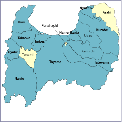
Municipalities
Due to the mergers in the 2000s, Toyama has the fewest municipalities of any prefecture in Japan with 10 cities, 2 districts, 4 towns, and 1 village (before the mergers took place, the prefecture had 9 cities, 18 towns, and 8 villages).
Cities
Ten cities are located in Toyama Prefecture:
Towns and villages
These are the towns and villages in each district:
Agriculture
In 2014 Toyama contributed approximately 2.5% of Japan's rice production and makes use of abundant water sources originating from Mount Tate. It also has many fisheries along its Sea of Japan coastline.
Manufacturing
Toyama is famous for its historical pharmaceutical industry which remains a top manufacturing industry in the prefecture in terms of manufacturing shipment value followed by electronic parts and devices (industrial robots, general machinery, etc.), and metal products (aluminum, copper etc.) manufacturing.
Energy
Kurobe Dam generates electricity for the Kansai Electric Power Company. It is located on the Kurobe River in Toyama Prefecture.
Demographics
As of February 1, 2008, the population is estimated as 1,104,239.
International links
Rail
Tokyo: 2 hr 7 min via Hokuriku Shinkansen
Osaka: 3 hr via Hokuriku Shinkansen and Thunderbird Limited Express
Expressway
Air
Domestic
International
UNESCO World Heritage Cultural Sites
Gokayama Historical Village (Nanto City)
National Treasures of Japan
Zuiryū-ji Temple (Takaoka City)
Spring
Summer
Fall
Winter
Regional Foods
Regional sake
Sports
The sports teams listed below are based in Toyama.
Football (soccer)
Basketball
Baseball
Rugby Union