
Average annual precipitation 459.8 mm Tehsil 16 | State Rajasthan Tehsils 16 Area 11,152 km² | |
 | ||
Major highways National Highway 11 (NH-11), National Highway 8 (NH-8) Destinations Jaipur, Amer, Sambhar Salt Lake, Viratnagar, Bagru Colleges and Universities University of Rajasthan, Jaipur National University, Manipal University Jaipur, Malaviya National Institute o, Rajasthan University of Health | ||
Jaipur District is a district of the state of Rajasthan in Northern India. The city of Jaipur, which is Rajasthan's capital and largest city, is the district headquarters. It is the tenth most populous district in India (out of 640).
Contents
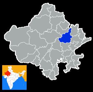
Map of Jaipur, Rajasthan
Divisions
Being the state capital, Jaipur has a Legislative Assembly. There 13 Sub-divisions in district are:
Panchayat Samitis are:
Tehsils are:
Demographics
According to the 2011 census Jaipur district has a population of 6,663,971, roughly equal to the nation of Libya or the US state of Washington. This gives it a ranking of 10th in India (out of a total of 640). The district has a population density of 598 inhabitants per square kilometre (1,550/sq mi) . Its population growth rate over the decade 2001-2011 was 26.91%. Jaipur has a sex ratio of 909 females for every 1000 males, and a literacy rate of 76.44%.