
Elevation 387 m Local time Friday 3:54 AM | Time zone IST (UTC+5:30) Population 21,639 (2001) ISO 3166 code ISO 3166-2:IN | |
 | ||
Weather 26°C, Wind W at 5 km/h, 23% Humidity Neighborhoods Jagadamba Colony, Udyog Nagar | ||
Plots in phulera jaipur yc group
Phulera is a city and a municipality in Jaipur district in the Indian state of Rajasthan. The DMIC (Delhi-Mumbai Industrial Corridor) project which is undertaken by Indian government runs through Phulera.
Contents
- Plots in phulera jaipur yc group
- Map of Phulera Rajasthan
- Geography
- Demographics
- Landmarks
- Transport
- Politics
- References
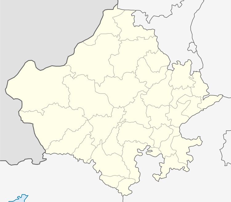
Map of Phulera, Rajasthan
Geography
Phulera is located at 26.87°N 75.23°E / 26.87; 75.23. It has an average elevation of 387 metres (1269 feet).
Demographics
As of 2001 India census, Phulera had a population of 21,639. Males constitute 52% of the population and females 48%. Phulera has an average literacy rate of 73%, higher than the national average of 59.5%: male literacy is 83%, and female literacy is 62%. In Phulera, 13% of the population is under 6 years of age.
Landmarks
Landmarks near the town include the Hirnoda Balaji temple, Sambhar salt lakes and the Shakhambari Devi temple. Devotees and tourists flock to these places to see the amazing structures and fulfill their wishes.
Transport
Phulera Junction railway station is on the Jaipur-Ahmedabad line. It has five platforms, platform no#4 & no#5 use for Jaipur - Ajmer - Ahmedabad route.
There is no official bus-stand so the townspeople seek to build a bus stop.
Politics
In 201? Municipal election in Phulera, BJP is ruling party now because of Narendra Modi Wave. Narsing Narnoliya is Chairman of Phulera Municipal Council.