
postal code 303712 Elevation 479 m Local time Friday 11:38 PM | Time zone IST (UTC+5:30) Vehicle registration RJ Population 7,735 (2011) | |
 | ||
Weather 21°C, Wind N at 5 km/h, 50% Humidity | ||
Govindgarh is a census town in Jaipur district in the Indian state of Rajasthan.
Contents
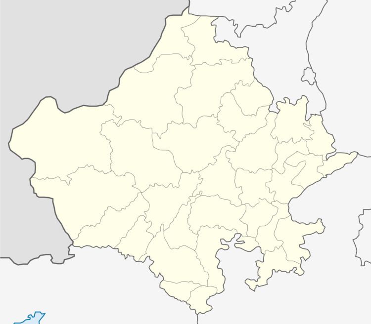
Map of Govindgarh, Rajasthan 305201
Geography
Govindgarh is located at 27.24°N 75.64°E / 27.24; 75.64. It has an average elevation of 373 metres (1223 feet). River Luni originates near Pushkar in two branches, i.e. the Saraswati and the Sabarmati, which join with each other at Govindgarh. From here, the river comes out of Aravali and is known as Luni.
Demographics
Govindgarh is a Census Town city in district of Jaipur, Rajasthan. The Govindgarh Census Town has population of 7,735 of which 3,960 are males while 3,775 are females as per report released by Census India 2011.
Population of Children with age of 0-6 is 1079 which is 13.95% of total population of Govindgarh (CT). In Govindgarh Census Town, Female Sex Ratio is of 953 against state average of 928. Moreover, Child Sex Ratio in Govindgarh is around 838 compared to Rajasthan state average of 888. Literacy rate of Govindgarh city is 79.73% higher than state average of 66.11%. In Govindgarh, Male literacy is around 90.42% while female literacy rate is 68.75%.
Govindgarh Census Town has total administration over 1,331 houses to which it supplies basic amenities like water and sewerage. It is also authorized to build roads within Census Town limits and impose taxes on properties coming under its jurisdiction.