
Country United States GNIS feature ID 453408 Local time Thursday 7:08 PM | FIPS code 18-33160 Elevation 224 m Population 3,329 (2010) | |
 | ||
Weather 14°C, Wind N at 18 km/h, 46% Humidity Area 95.62 km² (94.51 km² Land / 111 ha Water) | ||
Hensley Township is one of nine townships in Johnson County, Indiana. As of the 2010 census, its population was 3,329 and it contained 1,341 housing units.
Contents
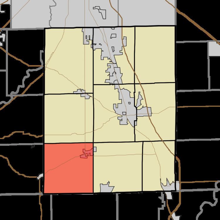
Map of Hensley Township, IN, USA
Hensley Township was organized in 1827.
Geography
According to the 2010 census, the township has a total area of 36.92 square miles (95.6 km2), of which 36.49 square miles (94.5 km2) (or 98.84%) is land and 0.43 square miles (1.1 km2) (or 1.16%) is water.
References
Hensley Township, Johnson County, Indiana Wikipedia(Text) CC BY-SA