
Palestine grid 171/192 Name meaning "Hill" | ||
 | ||
Weather 12°C, Wind NE at 10 km/h, 70% Humidity | ||
Jaba' (Arabic: جبع) is a Palestinian village in the northern West Bank, located 8 kilometres (5.0 mi) southwest of the city of Jenin. According to the Palestinian Central Bureau of Statistics, the town had a population of 8,942 in the 2007 census. The village's name translates as "hill" and it is situated on the slopes of the Jabal Dabrun mountain. The village and its immediate vicinity contain a number of archaeological sites, including a tomb for a certain Neby Yarub. During the Ottoman era, Jaba' served as a throne village of the powerful Jarrar clan. The town is administered by a municipal council, currently headed by Bassam Jarrar.
Contents
- Map of Jaba
- Etymology
- History
- Ottoman era
- Modern era
- Geography
- Archaeology
- Khirbet Beit Yarub
- Khirbet Jafa
- Khirbet al Naqb
- Demographics
- References
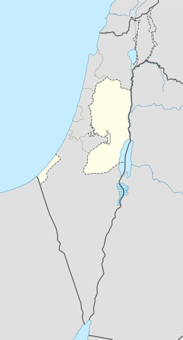
Map of Jaba'
Etymology
The village's name Jaba' is the word for "hill". Biblical scholars Edward Robinson and Eli Smith believed that the village's name made it "decidedly another ancient Geba or Gibeah", but they were not aware of the existence of an ancient village with either of those names in Jaba's vicinity. A possibility, they noted, was that Jaba' was the "Gabe", mentioned by the Byzantine historian Jerome, that was located 16 Roman miles from the coastal city of Caesarea. Others identify this Jaba with the Geba of the Mishnah, explicitly noted as being in Samaria.
History
Sherds from Middle Bronze Age II, Iron Age I & II, Persian, Hellenistic, Roman through Byzantine era have been found in Jaba'. The town is not mentioned in Medieval sources, although the old core of the village appears to date back sometime during the Mamluk and/or Ottoman periods.
Ottoman era
Jaba' was incorporated into the Ottoman Empire with the rest of Palestine in 1517. In the 1596 Ottoman tax records, it appeared under the name of Jab'a, located in the Jabal Sami Nahiya, in the Nablus Sanjak. It had a population of 42 families, all Muslim, who paid a fixed tax-rate of 33.3% on agricultural products, including wheat, barley, summer crops, olive trees, goats and beehives, in addition to occasional revenues and a press for olives or grapes; a total of 15,304 akçe.
During Ottoman rule, Jaba' served as the throne village (kursi) of the Jarrar clan, who were the most powerful noble family in the rural hinterland of Nablus. In later years, a faction of the family moved to a nearby area and established modern-day Sanur, which the family also fortified.
Robinson and Smith visited the village in 1838, noting that it was "a large village, or rather town, on the slope of the range of hills". They also noted that there was a tower in the village with the "appearance of antiquity".
In 1851, Jaba's inhabitants issued a complaint to Hafiz Pasha, the governor of Jerusalem, accusing the Jarrar sheikhs of the village of forcing them to sign promissory notes about selling their future olive oil (a total of 2,600 jars within two years) to the sheikhs at a reduced price. The residents accused the sheikhs of seeking to enrich themselves rather than collect taxes on behalf of the authorities. The case was transferred to the Nablus Advisory Council headed by Mahmud Abd al-Hadi, who concluded that the residents' claims about the sheikhs were false and that the promissory notes were meant to make up for the resident's failure to pay taxes due to a bad olive harvest. The petitioners and the sheikhs subsequently met and reconciled their differences peacefully.
In 1882, the Palestine Exploration Fund's Survey of Western Palestine (SWP) described Jaba' as a "A flourishing village on the hill-side. The houses well built of stone. It is surrounded with fine olive groves, and has several wells. The camp was established on the west on open arable ground, close to one well which has a Shaduf, or long pole with a weight for drawing up water. There is potters' clay close by, and a pottery in the village. The place is the Kursi, or 'throne' of the famous Jerrar family, once governors of this district. It is apparently an ancient site. There is a rock-cut tomb on the east."
Modern era
British forces captured Palestine, including Jaba', in 1917 during World War I and thereafter established a British Mandate over the country. In the British census of 1922, Jaba' had a population of 1,372 Muslims. In the 1931 census, the population increased to 1,542, mostly Muslims and nine Christians, living in 311 households. During the 1936–1939 Palestine revolt, Jaba' was home to Fawzi Jarrar, a leading rebel commander in the Jenin area.
Jaba's population grew to 2,100 in a 1945 land and population survey; 2,090 Muslim and 10 Christians. The total area of the village was 24,620 dunams, of which 96.1% was Arab-owned, the remainder being public property. Of the village's lands, 2,671 dunams were used for plantations and irrigable land, 11,054 dunams for cereals, while 42 dunams were built-up (urban) areas.
After the 1948 Arab-Israeli War, Jaba' came under Jordanian rule. Since the 1967 Six Day War, Jaba' has been under Israeli occupation.
In the 2005 municipal elections, Fatah won the largest amount of seats (seven), followed by Hamas (five). Political independents won one seat. The mayor is Bassam Jarrar.
Geography
Jaba' is located in the Jenin Governorate in the northern West Bank. It is about 8 kilometers southwest of the governorate's capital, Jenin. The nearest localities are Fandaqumiya and Silat ad-Dhahr to the west, Rama and Ajjah to the northwest, Anzah to the north, Sanur and Meithalun to the northeast, Siris to the east, Yasid to the southeast, Beit Imrin to the south and Burqa to the southwest.
Jaba' is partially situated on the northern slopes of Jabal Dabrun and partially in the agriculturally-rich valley below the mountain. The old core of the village is situated on a formerly fortified tell, which consists of roughly 30 dunams, at the summit of Jabal Dabrun. The summit of the Jabal Hureish mountain is 3.5 kilometers east of Jaba'. The elevation of old Jaba' is 540 meters above sea level, and it is 40 meters higher than its immediate surroundings. Jabal Dabrun's summit is 651 meters above sea level. To the east and west of the village are springs, including Ein al-Gharbi.
Archaeology
In 1882, the SWP found "East of the village is a tomb, very rudely cut in white soft rock. The entrance on the north-east leads to an ante-chamber with two coats of plaster on the walls ; the inner chamber has three kokim; the door between is a rude arch of small masonry."
There are four archaeological sites in the vicinity in Jaba', namely Khirbet al-Naqb, Khirbet Jafa, Khirbet Sabata and Khirbet Beit Yarub. In the valley north of Jaba', near the road to Sanur, is a site with an area of 15 dunams. Several flint tools were found among olive groves growing at the site. Khirbet Sabata to the east of Jaba' contains the remains of houses and wells.
Khirbet Beit Yarub
Khirbet Beit Yarub is located two kilometers north of the village and covers an area of 7.5 dunams. Among the ruined structures is the tomb (maqam) of Neby Yarub ibn Ya'qub (the prophet Yarub son of Jacob). The tomb is a square-shaped building with a dome and containing two rooms. It is built of rubble stones. North of the tomb is a larger 19th-century building with several rooms. Between the Neby Yarub tomb and the 19th-century building are scattered remains and potsherds from the Byzantine, early Islamic, Mamluk and Ottoman eras.
The site was counted in the 1596 Ottoman tax records as a Muslim village named "Beit Yarub" with a population of eight families and three bachelors. The village is mentioned again in a 1671 Ottoman tax record and later as a mid-19th-century estate of Emir Bashir Shihab II of Mount Lebanon.
Khirbet Jafa
Khirbet Jafa is located 1.5 kilometers east the northeast of the village. It has a total area of 15 dunams and is situated on a ridge descending north from Mount Hureish and towards Jaba's valley with an elevation of 410 meters above sea level. The ruins consist of the remains of a tower, walls, the foundations of buildings and water tanks. Of these remains, there are two partially preserved Ottoman-era structures standing on terraces close at the summit of the ridge, well-built structures from Byzantine era on the western and southern slopes, and remains of medieval-era structures near the valley. Pottery sherds indicate Khirbet Jafa was an inhabited site during the Iron Age II, Persian, Hellenistic, Roman, Byzantine, early Islamic and medieval periods.
Khirbet al-Naqb
Khirbet al-Naqb is located southeast of Jaba', and has few intact remains, consisting of scattered building stones. The total area of the site is six dunams and it is situated on a round hill with an elevation of 510 meters above seal level, close to where Wadi Wadian and Wadi Beit Imrin meet. The site is named "Naqb" because it is near a naqb (old pathway) between Jaba' and Sebastia to the south. Pottery sherds date back to the Hellenistic, Roman, Persian and Byzantine periods.
The only structure that has been partially preserved is the remains of structure that measures 8 meters long and five meters wide. It was built of large stone blocks. In the western slope of the hill are six burial caves, some having arched entrances, while another burial cave is located in the southern part of the site. In the northwestern part of the hill are a cistern, trough and several stones, likely making it the remains of an old quarry.
Demographics
In the 1997 census by the Palestinian Central Bureau of Statistics (PCBS), Jaba' had a population of 6,493. Palestinian refugees accounted for 16.4% of the inhabitants. In the 2007 PCBS census, the population grew to 8,492, living in 1,498 households with each household containing an average of between five and six members. The gender ratio was 46.7% female and 53.3% male.