
Existed: 1969 – present Constructed 1 January 1969 | Length 102.3 km | |
 | ||
Counties Pocahontas County, Iowa, Humboldt County, Iowa, Palo Alto County, Iowa, Kossuth County, Iowa, Emmet County, Iowa | ||
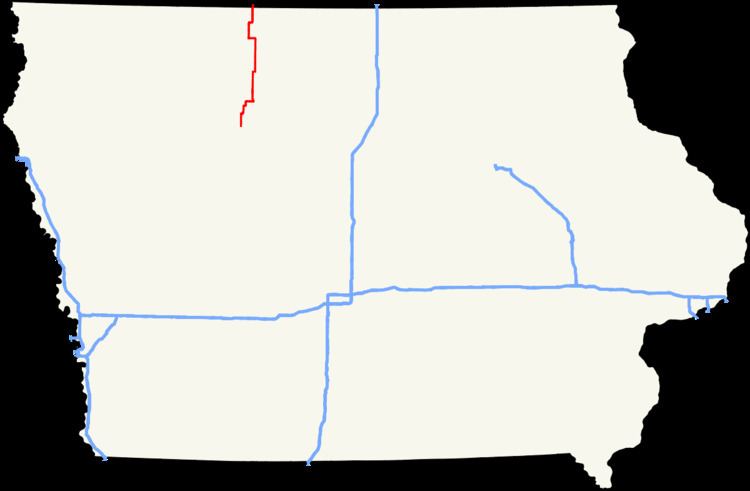
Iowa Highway 15 (Iowa 15) is a north–south state highway in northern Iowa. It is 63 1⁄2 miles (102.2 km) long. The southern end of Iowa 15 is 7 miles (11 km) east of Pocahontas at an intersection with Iowa Highway 3. The northern end is at the Minnesota border, where the highway continues north as Minnesota State Highway 15 near Fairmont, Minnesota. Prior to 1969, the route was known as Iowa Highway 44; it was renumbered to match the highway in Minnesota.
Contents
Route description
Iowa Highway 15 begins 7 miles (11 km) east of Pocahontas at Iowa Highway 3. It goes north for 5 miles (8.0 km) to Rolfe, then begins to go northeast in a stairstep manner for 9 miles (14 km) until crossing the West Fork of the Des Moines River and into Humboldt County 3 miles (4.8 km) west of Ottosen. It then turns north onto the Palo Alto County/Kossuth County border for 4 1⁄2 miles (7.2 km) and passes through West Bend. It continues north for 8 1⁄2 miles (13.7 km) to the Whittemore area, where there is a one-mile (1.6 km) overlap with U.S. Route 18, where it fully enters Kossuth County.
It goes north 9 miles (14 km) to Fenton, continues north for 6 miles (9.7 km), and then turns west for 3 miles (4.8 km), where it enters Emmet County. Near Ringsted, it turns north again for 6 1⁄2 miles (10.5 km) and meets Iowa Highway 9 in Armstrong. Iowa 9 and Iowa 15 overlap each other for two blocks before Iowa 15 turns north into Armstrong. Highway 15 leaves Armstrong to the east; 3 miles (4.8 km) east of town, it turns north and ends at the Minnesota border 7 miles (11 km) later.
History
Parts of what is now Iowa Highway 15 were originally primary roads designated in 1926. Primary Road 44 extended from Primary Road 10, now Iowa Highway 3 to Rolfe, while Primary Road 43 extended from Armstrong to the Minnesota state line. By 1947, Iowa Highway 44 had been created along the same route Iowa 15 now occupies. In 1969, then-Iowa Highway 44 was redesignated as Iowa Highway 15 to match Minnesota State Highway 15 at the state line.