
Length 75.3 km | ||
 | ||
Existed: May 31, 2013 (2013-05-31) – present West end: US 83 / Bus. US 83 in Penitas | ||
Interstate 2 69e south texas
Interstate 2 (I-2) is a west–east Interstate Highway running through the Lower Rio Grande Valley of South Texas. It begins at the intersection of U.S. Highway 83 (US 83) and Business US 83 in Penitas and heads eastward before terminating at I-69E/US 77 in Harlingen. For its entire length, I-2 shares its alignment with US 83. I-2 also parallels Mexican Federal Highway 2, a major east–west route that traces the Mexico-U.S. border along the Mexican side of the Rio Grande.
Contents
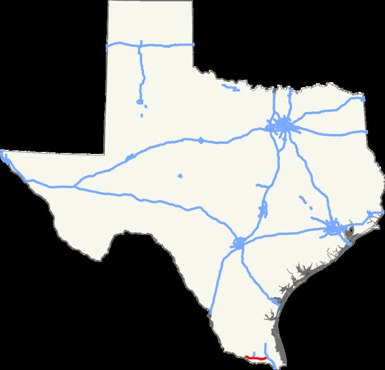
Map of I-2, Texas, USA
History
On April 1, 2013, the Texas Transportation Commission applied to use the I-2 designation on US 83 from Palmview to Harlingen. Approved by the American Association of State Highway and Transportation Officials at their May meeting, this 47-mile-long (76 km) freeway was already constructed as an Interstate-grade limited-access facility. It connects with I-69E at Harlingen; and likewise with I-69C in the town of Pharr. The Federal Highway Administration approved the designation on May 24, 2013, and the Texas Transportation Commission followed suit on May 30, 2013. This action finalized the designations of not only I-2, but also of the sections of I-69E from Brownsville to Raymondville, I-69C from Pharr north to the end of the US 281 freeway facility near Edinburg, and also I-369 along a short segment of US 59 freeway west of Texarkana, which will be part of the proposed 115-mile (185 km) connector between the main I-69 trunk in Tenaha and Texarkana. These approvals added over 100 miles (160 km) to the Interstate Highway System in the Rio Grande Valley. The signage was installed in summer 2013.
As of June 2013, the cluster consisting of the recently designated portions of I-2, I-69C, and I-69E in the Rio Grande Valley is not connected to the national Interstate network. This situation is slated to be remedied by scheduled projects to complete I-69E along US 77 between Raymondville and Robstown, and to complete the southern end of the previously signed portion of the I-69 corridor connecting with I-37 west of Corpus Christi. Environmental Protection Agency approval for the upgrade of the US 77 alignment to Interstate standards, including bypasses of the towns along the 91-mile (146 km) routing, was obtained through a Finding of No Significant Impact statement issued on July 13, 2012; funding for the various projects to effect the upgrades is slated to become available after 2015.