
Existed: 1956 – present Counties: St. Louis Length 17.98 km | Constructed 1956 | |
 | ||
Major cities | ||
Interstate 170 (I-170) is the designation for an interstate route in the St. Louis, Missouri metropolitan area. I-170, also known as the Inner Belt Expressway, is an 11.17-mile (17.98 km) highway traveling north-south through the St. Louis suburbs.
Contents
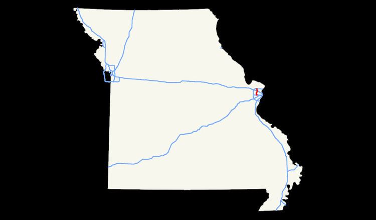
Map of I-170, Missouri, USA
I-170 connects to Interstate 270 at its northern terminus and Interstate 64 at its southern terminus; at exits 7A and 7B, I-170 crosses its parent, I-70. Interstate 170 also provides access to Lambert-St. Louis International Airport.
History
I-170 was originally intended to provide an inner beltway within I-270 through St. Louis County extending to I-55 in the South County area; however, the portion of the route south of I-64/US 40 was canceled due to local opposition. The portion of MetroLink's Cross County Extension south of I-64 runs roughly along the proposed alignment.
The southern portion of I-170 was built using St. Louis County funds in the 1960s through a shallow valley. It was signed as Route 725.
Recent construction
The southern two interchanges on I-170 (at I-64/US 40 and Galleria Parkway) were reconstructed as part of the first phase of the New I-64 project. Most notably, the new interchange includes direct access to I-170 from eastbound I-64; however, access to Galleria Parkway from northbound I-170 was eliminated. Eager Road access to and from I-170 was also revised in the New I-64 project.
Exit list
The entire route is in St. Louis County.