
Country United States GNIS feature ID 453567 Area 88.03 km² Population 2,223 (2010) | ZIP codes 47925, 47960 Elevation 206 m Local time Thursday 10:41 PM | |
 | ||
Weather 0°C, Wind SE at 6 km/h, 62% Humidity | ||
Liberty Township is one of twelve townships in White County, Indiana, United States. As of the 2010 census, its population was 2,223 and it contained 2,082 housing units.
Contents
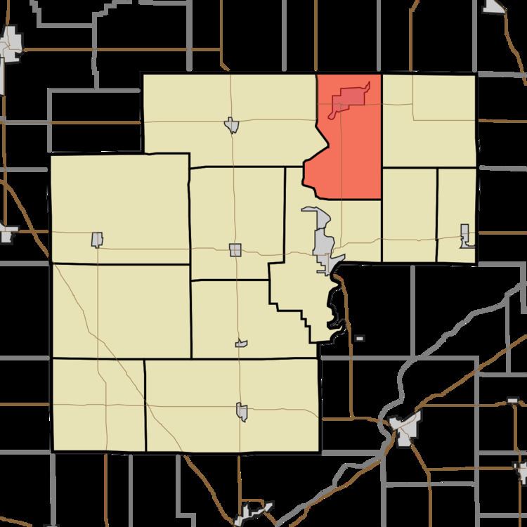
- Map of Liberty IN 47960 USA
- Geography
- Cities towns villages
- Unincorporated towns
- Adjacent townships
- Cemeteries
- Landmarks
- School districts
- Political districts
- References
Map of Liberty, IN 47960, USA
Liberty Township was established in 1838.
Geography
According to the 2010 census, the township has a total area of 33.99 square miles (88.0 km2), of which 33.22 square miles (86.0 km2) (or 97.73%) is land and 0.77 square miles (2.0 km2) (or 2.27%) is water.
Cities, towns, villages
Unincorporated towns
(This list is based on USGS data and may include former settlements.)
Adjacent townships
Cemeteries
The township contains these three cemeteries: Clark, Hughes and Warden.
Landmarks
School districts
Political districts
References
Liberty Township, White County, Indiana Wikipedia(Text) CC BY-SA