
Population 68,252 (Oct 2016) | Phone number 0265-78-4111 Local time Sunday 5:23 AM | |
 | ||
Address 3050 Ina, Ina-shi, Nagano-ken 396-8617 Weather -5°C, Wind S at 6 km/h, 96% Humidity Points of interest Burg Takatō, Kasuga Park, Shinmyoji, Ina Park, Hatarakujidosha Museum | ||
Ina (伊那市, Ina-shi) is a city located in central Nagano Prefecture, in the Chūbu region of Japan. As of 1 October 2016, the city had an estimated population of 68,252 and a population density of 102 persons per km². Its total area was 667.93 square kilometres (257.89 sq mi).
Contents
- Map of Ina Nagano Prefecture Japan
- Geography
- Surrounding municipalities
- History
- Economy
- Education
- Railway
- Highway
- International
- Domestic
- References
Map of Ina, Nagano Prefecture, Japan
Geography
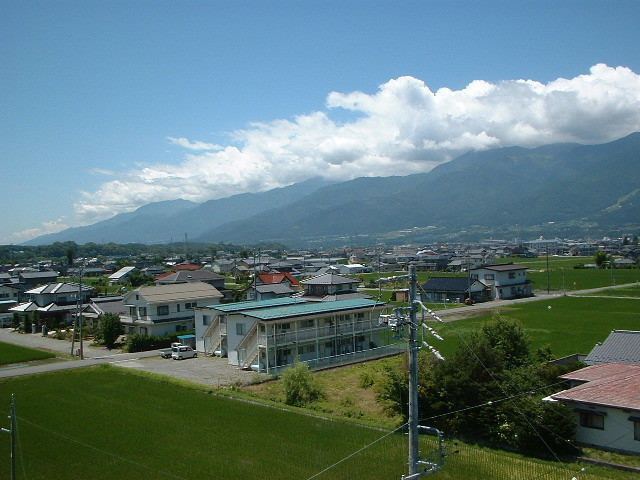
Ina is located in south-central Nagano prefecture. It is bordered to the east by the Akaishi Mountains, including Mount Nyukasa (1955 meters), Mount Nokogiri (2685 meters), Mount Senjō (3033 meters), and Mount Shiomi (3047 meters). The Tenryū River runs through the city.
Surrounding municipalities
History
The area of present-day Ina was part of ancient Shinano Province. The area was part of the holdings of Takato Domain during the Edo period. The village of Ina was established within Ina District the creation of the municipalities system on April 1, 1889 and was raised to town status on October 15, 1897. The town of Ina merged with the villages of Tomigata, Misuzu, Tera, Higashiharuchika and Nishiminowa (all from Kitaiina District) to form the city of Ina on April 1, 1954. Ina annexed the village of Nishiharuchika in 1965. On March 31, 2006, Ina absorbed the town of Takatō, and the village of Hase (both from Kamiina District to create the new and expanded city of Ina.
Economy
Rubycon Corporation, an electronic components company has its headquarters in the city.
Education
Ina has 15 public elementary schools and six public middle schools. There are four public high schools operated by the Nagano Prefectural Board of Education.
The city has one international school (Colégio Desafio) - Brazilian primary school)