Area 144.8 km² Local time Saturday 4:31 PM | Phone number 0266-62-2250 Population 14,726 (Oct 2016) | |
 | ||
Weather 4°C, Wind N at 6 km/h, 44% Humidity Points of interest Fujimikogen Ski Area, Mount Nyukasa, Fujimicho Kogenno Museum, Fujimimachi Rekishiminzoku Museum | ||
Fujimi (富士見町, Fujimi-machi) is a town located in Shimoina District in far southern Nagano Prefecture, in the Chūbu region of Japan. As of 1 October 2016, the town had an estimated population of 14,726 and a population density of 102 persons per km². Its total area was 144.76 square kilometres (55.89 sq mi).
Contents
- Map of Fujimi Suwa District Nagano Prefecture Japan
- Geography
- Surrounding municipalities
- History
- Education
- Railway
- Highway
- International relations
- References
Map of Fujimi, Suwa District, Nagano Prefecture, Japan
Geography
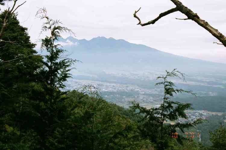
Fujimi is located in a very mountainous area within the Suwa region of east-central Nagano, and includes the Akaishi Mountains, including Mount Nyukasa (1955 meters) partly within its borders.
Surrounding municipalities
History
The area of present-day Fujimi was part of ancient Shinano Province. Fujimi Village was established on April 1, 1889 with the establishment of the municipalities system. On April 1, 1995 Fujimi merged with the villages of Sakai, Hongo, and Ochiai to form the town of Fujimi.
Education
Fujimi has three public elementary schools and one public middle school operated by the town government, and one public high school operated by the Nagano Prefectural Board of Education. The town also has one public special education school operated by the prefectural government
