
Area 323.7 km² | Max length 25 km | |
 | ||
Similar IJsselmonde, De Biesbosch, Rhine–Meuse–Scheldt delta, Brielse meer, Merwede | ||
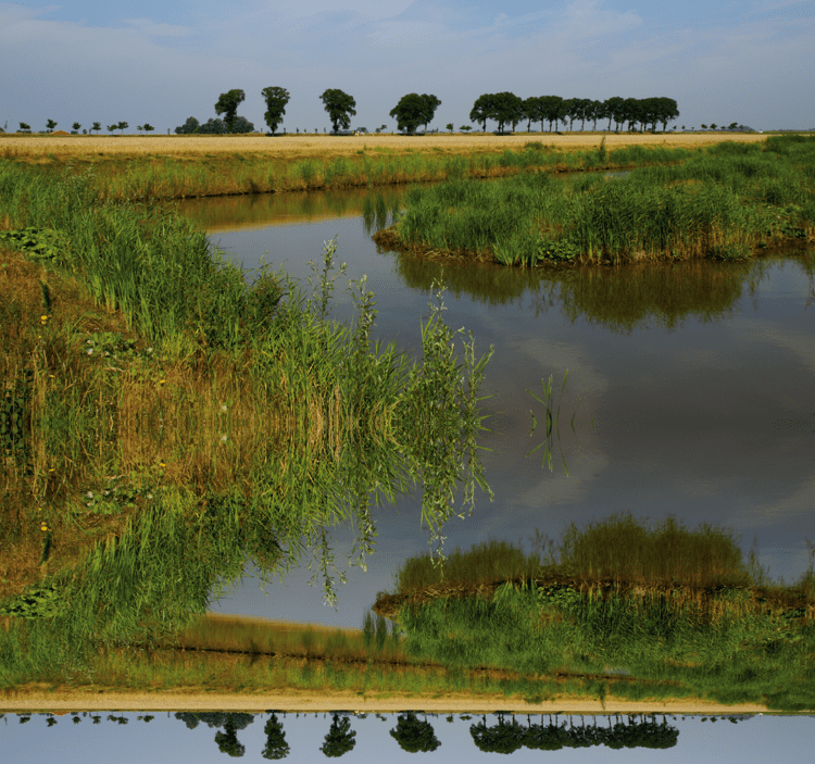
The Hoekse Waard ( [ˈɦuksə ˈʋaːrt]; pre-1947 spelling: Hoeksche Waard) is an island between the Oude Maas, Dordtsche Kil, Hollands Diep, Haringvliet and Spui rivers in the province of Zuid Holland in the Netherlands. The island is a mostly agricultural region, south of Rotterdam. The Hoeksche Waard consists of reclaimed land (polders): after the Saint Elisabeth flood of 1421 most of the area was flooded. The land has been reclaimed gradually in the following centuries.
Contents
Map of Hoeksche Waard, Netherlands
Municipalities
The Hoeksche Waard consists of the following municipalities:
Surrounding waters
The Hoeksche Waard is separated:
References
Hoeksche Waard Wikipedia(Text) CC BY-SA