
Area 28 ha | Time zone CET (UTC+1) Population 1,956 (Jan 2014) Local time Friday 1:18 PM | |
 | ||
Weather 9°C, Wind W at 29 km/h, 61% Humidity | ||
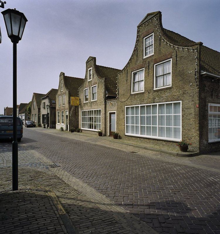
Goudswaard is a village in the Dutch province of South Holland, located on the westernmost tip of the Hoeksche Waard, approximately 6 km south-west of Spijkenisse. Goudswaard was a separate municipality from 1817 until 1984, when it was merged with Nieuw-Beijerland, Zuid-Beijerland and Piershil to form the municipality of Korendijk. The built-up area of Goudswaard is 0.28 km². As of 1 January 2014, the village has 1,956 inhabitants, and contains 804 residences.
Map of Goudswaard, Netherlands
Goudswaard was founded in 1439, simultaneously with the diking of the polder Oud Korendijk. The village itself was, and still is, sometimes known as Korendijk. It was connected to Rotterdam by tram from 1903 to 1956. The village houses a flour mill named Windlust.
References
Goudswaard Wikipedia(Text) CC BY-SA