
Country United States Elevation 317 m Local time Wednesday 12:09 PM | GNIS feature ID 0453862 Area 57.81 km² Population 2,279 (2010) | |
 | ||
Weather 7°C, Wind E at 24 km/h, 79% Humidity | ||
Spiceland Township is one of thirteen townships in Henry County, Indiana, United States. As of the 2010 census, its population was 2,279 and it contained 991 housing units.
Contents
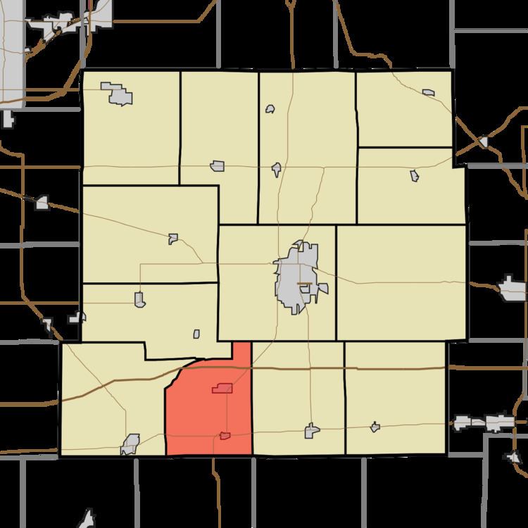
- Map of Spiceland Township IN USA
- Geography
- Cities and towns
- Unincorporated towns
- Adjacent townships
- Major highways
- References
Map of Spiceland Township, IN, USA
Spiceland Township was organized in 1842. It was named from the growth of spice bushes within its borders.
Geography
According to the 2010 census, the township has a total area of 22.32 square miles (57.8 km2), of which 22.22 square miles (57.5 km2) (or 99.55%) is land and 0.09 square miles (0.23 km2) (or 0.40%) is water.
Cities and towns
Unincorporated towns
(This list is based on USGS data and may include former settlements.)
Adjacent townships
Major highways
References
Spiceland Township, Henry County, Indiana Wikipedia(Text) CC BY-SA