
Country State | Language spoken | |
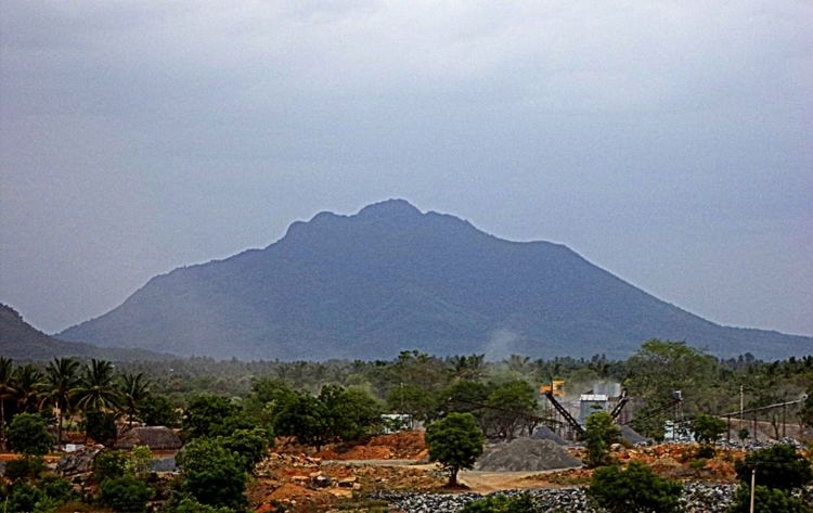 | ||
Map of Harur
Harur is a town in the Dharmapuri district of Tamil Nadu, India. It is one of two revenue blocks in the district.
Contents
- Map of Harur
- Harur video
- Geography
- Demographics
- Places of interest
- Road
- Rail
- Granite
- Molybdenum
- Education
- Government
- References
Harur video
Geography
The town is in northern Tamil Nadu, with an average elevation of 350 meters (1148 feet).
Demographics
According to the 2001 Indian census Harur has a population of 20,346, 49.99 percent male and 50.01 percent female. Its literacy rate is 75.33 percent, higher than the national average of 59.5 percent. Male literacy is 82.34 percent and female literacy 68.32 percent. 11.72 percent of the population is under age six. Agriculture is the primary occupation.
Places of interest
Road
Harur is connected by three state highways. There is bus service to Chennai, Salem, Coimbatore, Erode, Vellore, Tirupathi, Thiruvannamalai, Dharmapuri, Hosur, Bengaluru, Madurai.
Rail
The nearest railway station is at Morappur, 11 kilometres (6.8 mi) from Harur.
Granite
Harur is rich in high-quality gabbro, which is exported to Europe and North America.
Molybdenum
Molybdenum was discovered near Harur by the Ministry of Mines in 2004. It is the only natural source of the metal in India. The ability of molybdenum to withstand extreme temperatures without significantly expanding or softening makes it useful in applications involving intense heat, including the manufacture of aircraft parts, electrical contacts, industrial motors and filaments.
Education
Government College of Arts and Science Dharmapuri, Affiliated to Periyar University Established Year 1965. There are more than 30 Educational institutions in and around Harur
Government
Harur assembly constituency is part of the Dharmapuri Lok Sabha constituency.