
OS grid reference TQ316678 Postcode district N4, N8, N15, N17 Local time Friday 5:18 AM | Sovereign state United Kingdom Elevation 30 m Dialling code 020 Post town London | |
 | ||
Population 13,272 (2011 Census. Ward) Weather 5°C, Wind W at 11 km/h, 81% Humidity Restaurants Gökyüzü Restaurant, Antepliler, Hala Restaurant, Devran Restaurant Haringey, The Finsbury Hotels Beaconsfi Hotel, London Shelton Hotel, United Lodge Hotel & A, Erec Hotel, Beaconsfi Apartments | ||
Harringay (pronounced /ˈhærɪŋɡeɪ/) is a residential area in the London Borough of Haringey in north London, in the United Kingdom. It is centred on the section of Green Lanes running between the New River, where it crosses Green Lanes by Finsbury Park, and Duckett's Common, near Turnpike Lane.
Contents
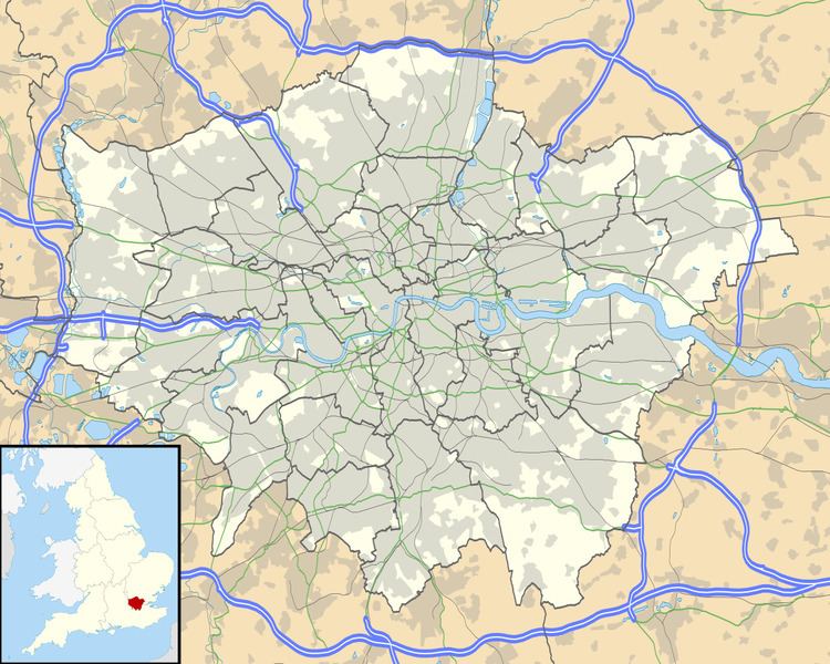
- Map of Harringay London UK
- Location
- Locale
- Geography and geology
- Historical outline
- Etymology
- Entertainment
- Transport and communications history
- Demographics
- Education
- Sport
- Green Harringay
- People from Harringay
- Harringay on film and television
- Nearest places
- Places of interest
- Nearest railway stations
- Nearest tube stations
- Buses
- References
Map of Harringay, London, UK
Location
The boundaries of Harringay form a rough boot shape in the extreme southern centre of the borough. The western boundary of Harringay is formed by the East Coast Main Line. The northern boundary is to the south of Turnpike Lane, running parallel to it, somewhere between Sydney Road and Fairfax Road. In the northeast, the boundary roughly corresponds with a line drawn between the south of Duckett's Common and the north end of Warwick Gardens. A line due south of this point, as far as Eade Road, forms the eastern boundary. Southeast of here a line to Finsbury Park completes the southeastern limits. Finsbury Park is officially part of Harringay and forms the south western boundary.
Including the park, Harringay has an area of about 1 3⁄4 miles (2.8 km) from north to south and 1⁄2 mile (0.80 km), at its widest point, from east to west.
Locale
Harringay's main shopping street, Green Lanes, is a busy, cosmopolitan high street. Some shops have a long established presence, like Disney's furniture store, which has traded there since 1913. Others reflect the more cosmopolitan nature of Green Lanes and include a large number of Kurdish & Turkish bakeries, grocers, cafes and a growing cluster of restaurants. There are several pubs including the Grade II listed and Pevsner noted Salisbury. Part of the 1980 film The Long Good Friday and the 1992 biopic of Charlie Chaplin. were shot there.
Towards the southern end stands the well-preserved, Victoriana-laden Beaconsfield public house. Opposite is the Arena Shopping Park with a handful of national multiples outlets, a Sainsbury's supermarket, and one of Britain's first "drive-thru" McDonald's restaurants.
A large section of the eastern side of Green Lanes is called Grand Parade. Interrupted only by the gaps introduced by the residential roads running eastwards, Grand Parade runs for nearly half a kilometre from just north of Harringay Green Lanes railway station to St Ann's Road.
Whilst the main road feels definitely cosmopolitan, the population of the surrounding streets is somewhat more homogeneous (See Demographics section.). The streets to the west of Green Lanes are known as the 'Harringay Ladder' (due to their similarity to a ladder when seen on a map). The streets to the east behind Grand Parade are known as 'The Gardens'. To the south of 'The Gardens' and Sainsbury's is Harringay's 'Warehouse District'; to the north is 'Woodlands Park'.
Geography and geology
Harringay is just under 5 1⁄2 miles (8.9 km) from the centre of London sitting on a chalk bed covered by a thick layer of London Clay. The western part of the district is hilly, rising to 138 feet at its highest. Further to the west, beyond Harringay, the ground rises steadily to one of the highest points in London at Hampstead Heath about 3 1⁄2 miles (5.6 km) away. The eastern part of Harringay is low-lying, at between 60 and 90 feet, as the land descends towards the Lea Valley, 2 miles (3.2 km) to the east.
Harringay covers an area of approximately ¾ of a square mile (2 km2). The land use for the area is shown in the table below.
The only waterway still running above ground is the man-made New River, constructed in 1619 to bring water into London from Hertfordshire. However, two natural rivers still flow through Harringay beneath the ground. These are just two of the many springs and streams that used to flow through this part of London from the high ground to the west, down into the River Lea. Stonebridge Brook ran above ground meandering eastwards just to the north of the old Harringay House. It crossed the estate, running roughly beneath present-day Effingham and Fairfax Roads, ran along Green Lanes for a short way and then eastwards north of St Ann's Road and on to the River Lea. Although still flowing underground today, the Harringay section was fully culverted by 1885. Hermitage Brook flowed roughly along the southern boundary of the western part of Harringay and then, staying close to its southern edge, under where the Arena Shopping Park stands today. It was eventually culverted and now flows underground just to the south of the shopping park.
Sources:Historical outline
In the Ice Age Harringay was on the edge of a huge glacial mass that reached as far south as Muswell Hill.
The area was then largely covered with forest until the Middle Ages when it was developed as agricultural land. From 1750 to 1880 Harringay experienced the pressures of the burgeoning population in London. Gradually inroads into the pastoral landscape were made, first for the leisure and then for the settlement of Londoners. By 1900 Harringay had become a respectable outer London suburb with all the land built over and only Finsbury Park remaining as a hint of its former character. Identified as a single unified urban area from 1900, Harringay was originally split between the old boroughs of Hornsey and Tottenham with the boundary between the two running slightly to the west of Green Lanes The unification of the two boroughs in 1965, as the London Borough of Haringey, brought all Harringay under the control of a single unit of local governance for the first time in more than a thousand years. On many of the roads in West Harringay, it is still possible to see the old Tottenham - Hornsey boundary where the paving stones give way to tarmaced pavement. The old parish / borough boundary markers are also still in place on some roads (see picture, right).
Etymology
The name Harringay has its origin in the Saxon period and is derived from the name of a Saxon chieftain called Haering. Haering's Hege meant Haering's enclosure. The earliest written form of the name was recorded as Harenhg’ in about 1195. Its development thereafter gave rise to the modern-day names of Harringay (the district of London), the London Borough of Haringey and Hornsey (another nearby district of London).
Sources:Entertainment
From 1750 until the second half of the 20th century, Harringay became a destination for Londoners seeking to relax. Hornsey Wood House, Finsbury Park, Harringay Stadium and Harringay Arena were all hugely popular leisure destinations in their day. The stadium and arena site is now occupied by Sainsbury's and the Arena Shopping Park. In the 21st century, Harringay continues to attract visitors from across London and beyond to visit the ever-growing number of popular restaurants, bars, festivals and live music venues. In the years since 2010 the festivals, bar and music studios of the creative hub in the Harringay Warehouse District is also attracting people to Harringay as an entertainment centre.
Transport and communications history
There is little doubt that the history of transport communications through Harringay had a significant effect on its shape today. In Roman times, a great roadway through the area to the north was established. This roadway endured as a great communication passage to the north and brought much activity through the heart of the area. It also acted as the rough dividing line for land ownership, identifying Harringay’s position on the edge of manorial and subsequently borough boundaries.
In the mid-19th century, the arrival of the Great Northern Railway (GNR) cleaved western Harringay from the rest of the Borough of Hornsey and set it fair for its subsequent union with the southwesternmost slice of the Borough of Tottenham. The subsequent construction of the Tottenham & Hampstead Junction Railway (THJR) almost defined Harringay's present-day southern boundary.
Demographics
At the 2001 census, the population of Harringay was about 16,500.
The ethnic breakdown is: 69% white, 14% black, 9% Asian, 3% Mixed and 3% other. 72% of its inhabitants were born in Europe, with 12% in Asia, 9% in Africa (mainly eastern & southern), and 4% in North America. Within this mix, 6% were born in Cyprus and 3% in Turkey.
About 45% of the population report themselves as Christian, 14% as not religious and 13% as Muslim. Other religions are present in smaller percentages.
Over 60% of residents are classified as being in the three highest social groups, whilst 10% are students.
Of a total of around 6,500 dwellings in Harringay, approximately 47% are owner-occupied and about 30% are privately rented accommodation. 17% are public or other council housing. About 40% of the dwellings are houses, with the remainder being flats, most often converted from the largely Victorian housing stock.
Education
There are four generally well regarded schools located within Harringay. These are shown below together with the number of places available in 2015:
Inspection reports on Harringay's four schools are available at the [1].
Sport
Harringay became both nationally and internationally famous for the sporting events that were held in the Harringay Stadium and the Harringay Arena from the late 1920s until the 1980s. Greyhound racing, boxing and speedway were the main attractions. Today, Harringay is home to the London Meteors who are based in the former cricket pitch in Finsbury Park, at the corner of Endymion Road and Green Lanes.
Green Harringay
22.5% of Harringay is open space:
Also close by are:
People from Harringay
See Category:People from HarringayHarringay on film and television
Films shot in part or in their entirety in Harringay include:
TV productions in Harringay include:
Nearest places
Places of interest
Nearest railway stations
Nearest tube stations
Buses
There are three bus routes that connect Green Lanes with the City and the West End: the 29, 141, and 341. The nearby Turnpike Lane bus station offers further connection to the west, east and north.