
PIN 193121 Area 200 ha | State Jammu and Kashmir Time zone IST (UTC+5:30) Elevation 1,553 m | |
 | ||
Hanjiwera is a notified area and village in Singhpora, Pattan, Baramulla district in Indian administered state of Jammu & Kashmir. It is located 37 km to the east from the District headquarters in Baramulla. 25 km from State capital Srinagar.
Contents
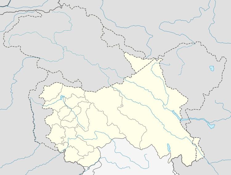
Map of Hanji Wera 193401
Hanjiwera is divided into two sublocalities: Hanjiwera Bala and Hanjiwera Payeen. Hanjiwera Bala consists mainly the population of Sunni Muslims and some Hindu houses whereas hanjiwera Payeen mainly possesses Shia Muslims. The village is located on either sides of NH-1A highway connecting Baramulla and Srinagar.
Baramula, Sopore, Bandipore, Srinagar are the nearby cities to Hanjwera.
Geography
Hanjiwera is located at 34.14°N 74.58°E / 34.14; 74.58. It has an average elevation of 1553 metres (5095 ft) above mean sea level. Hanjwera is surrounded by Baramulla Tehsil to the west, Rohama Tehsil to the north, Kralpora Tehsil to the south, Pattan Tehsil to the east. Sherabad, Singhpora, Pattan, Zangam and Kongamdara are nearby villages.
Railways
Pattan railway station, Mazhom railway station are the very nearby railway stations to Hanjiwera.
Roadways
Hanjiwera is connected both with the Srinagar city and Baramulla city by NH-1A on South and North sides respectively. It provides a link road to Gulmarg via Hanjiwera-Magam-Kunzer-Tangmarg-Gulmarg. Srinagar is about 24 km from the main Town.